Kalua, Kolkata
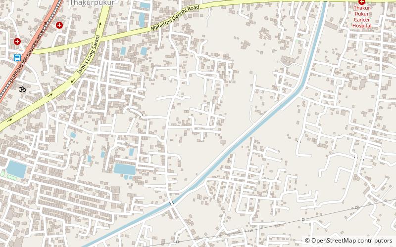
Map
Facts and practical information
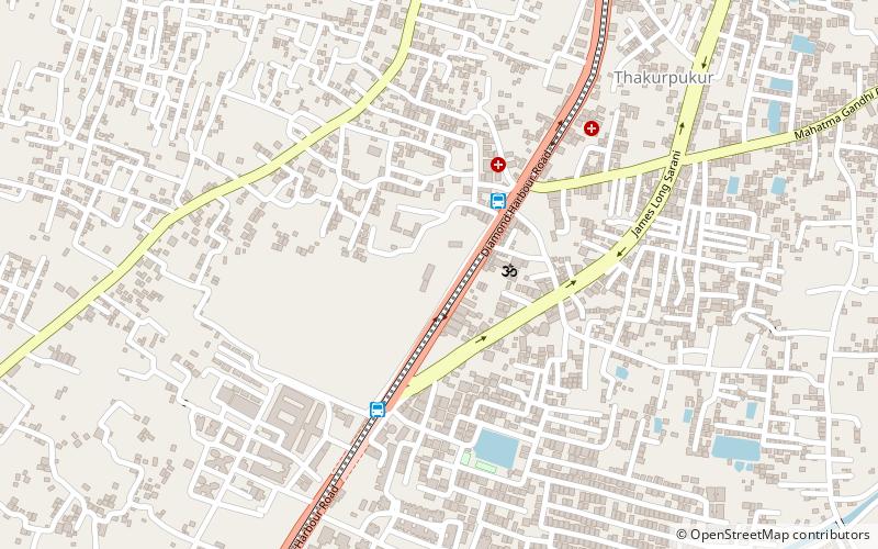
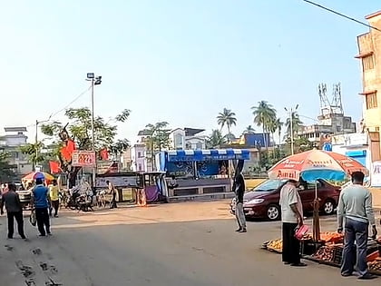
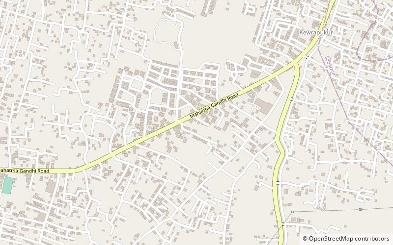
Kalua is a census town within the jurisdiction of the Maheshtala police station in the Thakurpukur Maheshtala CD block in the Alipore Sadar subdivision of the South 24 Parganas district in the Indian state of West Bengal. ()
Coordinates: 22°27'15"N, 88°18'45"E
Address
Kolkata
ContactAdd
Social media
Add
Day trips
Kalua – popular in the area (distance from the attraction)
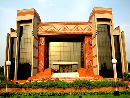
Nearby attractions include: Gurusaday Museum, IIM Calcutta, Joka, Thakurpukur.
Frequently Asked Questions (FAQ)
Which popular attractions are close to Kalua?
Nearby attractions include Gurusaday Museum, Kolkata (15 min walk), Thakurpukur, Kolkata (20 min walk), IIM Calcutta, Kolkata (24 min walk).
How to get to Kalua by public transport?
The nearest stations to Kalua:
Bus
Bus
- 3A bus stand (14 min walk)
