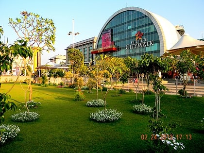
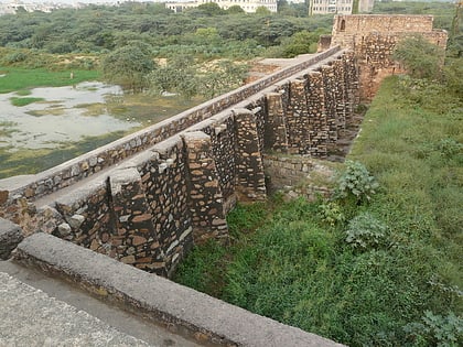
Saket, Delhi
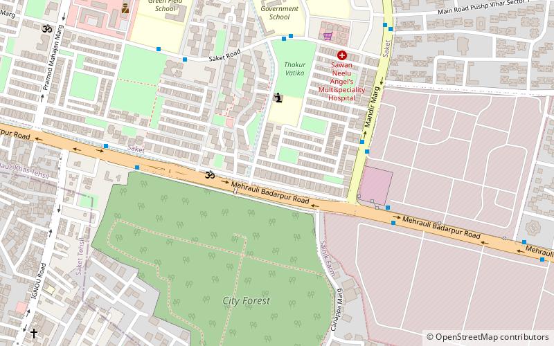
Map
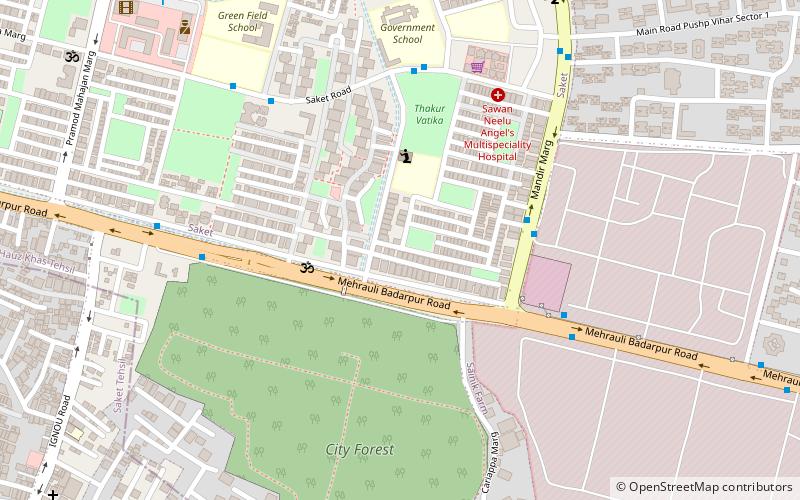
Map

Facts and practical information
Saket is a residential colony and the administrative headquarters of the South Delhi district of Delhi in India. The neighborhood is named after the city of Ayodhya, also known as Saket, an ancient, religiously significant city in Uttar Pradesh. Saket has four major malls on the Press Enclave Marg. ()
Coordinates: 28°31'9"N, 77°12'47"E
Address
South Delhi (Saket)Delhi
ContactAdd
Social media
Add
Day trips
Saket – popular in the area (distance from the attraction)
Nearby attractions include: Select Citywalk, Khirki Mosque, Garden of Five Senses, Satpula.
Frequently Asked Questions (FAQ)
How to get to Saket by public transport?
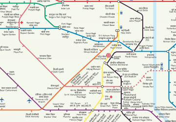
The nearest stations to Saket:
Bus
Metro
Bus
- Saket, J Block • Lines: (-) Oms, (+) Oms, 512, 522A, 680 (5 min walk)
- Saket Crossing • Lines: (-) Oms, (+) Oms, 34, 34A, 427, 463, 512, 522A, 539A, 680, 717, 717A, 717B, Bpg, Gr. Mudrika, Ml-81, Ml-82 (7 min walk)
Metro
- Saket • Lines: Yellow Line (17 min walk)
- Malviya Nagar • Lines: Yellow Line (22 min walk)
 Metro
Metro