Punjagutta, Hyderabad
Map
Map

Facts and practical information
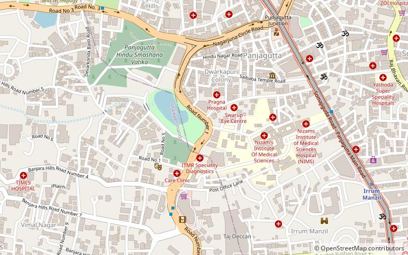
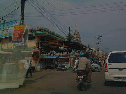
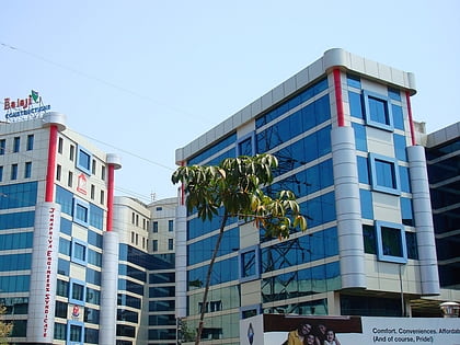
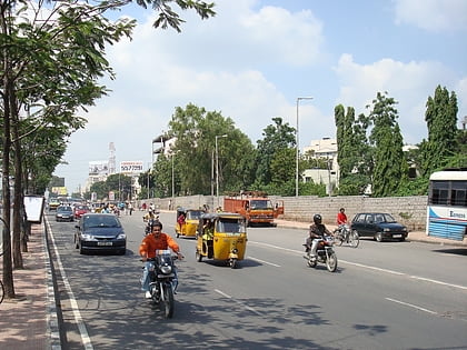
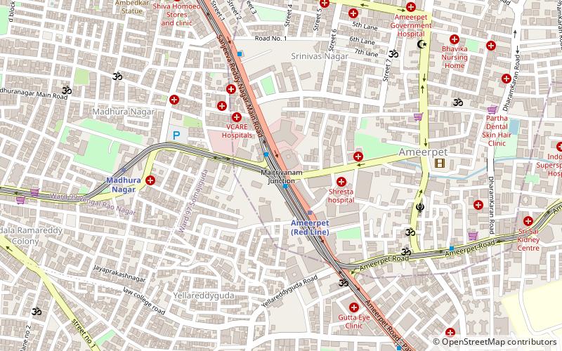
Panjagutta is a commercial and residential area in western Hyderabad, India. The area contains IT hubs, shopping malls and jewellery shops. It has become a major transit point for traffic to and from the Hyderabad districts of Ameerpet, Banjara hills, Somajiguda and Khairtabad. Twin flyovers across the road junction are helping ease the previously heavy traffic flow. ()
Coordinates: 17°26'12"N, 78°26'38"E
Address
Erstwhile Circle-V (Ameerpet)Hyderabad
ContactAdd
Social media
Add
Day trips
Punjagutta – popular in the area (distance from the attraction)
Nearby attractions include: GVK One, Hyderabad Central, Jalagam Vengal Rao Park, Balkampet Yellamma Temple.
Frequently Asked Questions (FAQ)
Which popular attractions are close to Punjagutta?
Nearby attractions include Khairtabad, Hyderabad (1 min walk), S. R. Nagar, Hyderabad (1 min walk), Ameerpet, Hyderabad (1 min walk), Gurudwara Saheb Ameerpet Hyderabad, Hyderabad (8 min walk).
How to get to Punjagutta by public transport?
The nearest stations to Punjagutta:
Metro
Train
Bus
Metro
- Ameerpet • Lines: 3, Red Line (3 min walk)
- Madhura Nagar • Lines: 3 (9 min walk)
Train
- Nature Cure Hospital (21 min walk)
- Begumpet (25 min walk)
Bus
- Nandi Nagar bus stand (37 min walk)

