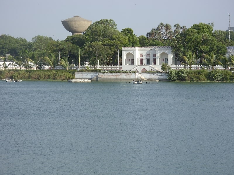
Gita Mandir Road, Ahmedabad
Map
Facts and practical information
Coordinates: 23°0'12"N, 72°35'23"E
Address
Ahmedabad
ContactAdd
Social media
Add
Getting there by public transportation
Public transportation stops near this location
- Bus
 Bus
Bus
- Calculate routeKankaria Telephone exchange 6 min walk
- Calculate routeGujarat State Road Transport Corporation | Bus Station | Gita Mandir 20 min walk
- Calculate routeNew Bus Station | Gita Mandir 21 min walk
- Calculate routeGita Mandir Bus Station 22 min walk
Day trips


Frequently Asked Questions (FAQ)
Which popular attractions are close to Gita Mandir Road?
Nearby attractions include Malik Alam's Mosque, Ahmedabad (7 min walk), Alam Roza, Ahmedabad (17 min walk), Shah-e-Alam's Roza, Ahmedabad (17 min walk), Behrampura, Ahmedabad (18 min walk).
How to get to Gita Mandir Road by public transport?
The nearest stations to Gita Mandir Road:
Bus
Bus
- Kankaria Telephone exchange (6 min walk)
- Gujarat State Road Transport Corporation | Bus Station | Gita Mandir (20 min walk)