Vijayanagar, Bangalore
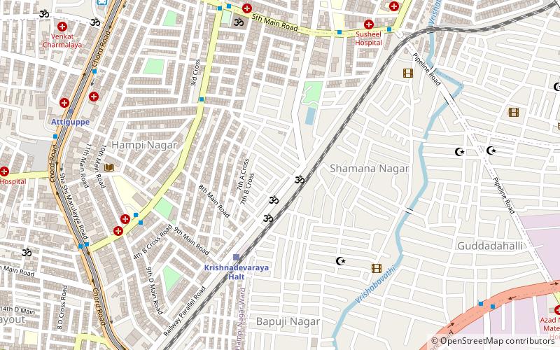
Map
Facts and practical information
Vijayanagar, officially Vijayanagara is a neighborhood in southwest Bangalore, India. It derives its name from the Vijayanagara empire that flourished in South India during the 15th and 16th centuries. It is bound by Mysore Road and Magadi Road, with Chord Road cutting through. It is the northernmost area in South Bangalore. ()
Coordinates: 12°57'36"N, 77°32'24"E
Address
RPC LayoutBangalore
ContactAdd
Social media
Add
Day trips
Vijayanagar – popular in the area (distance from the attraction)
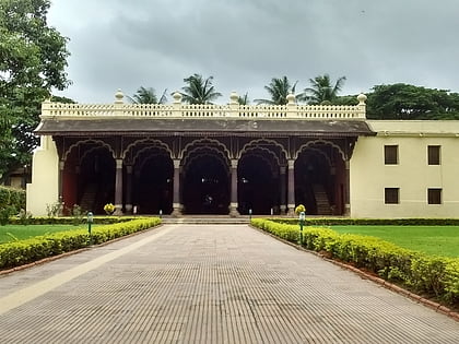
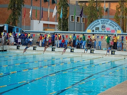
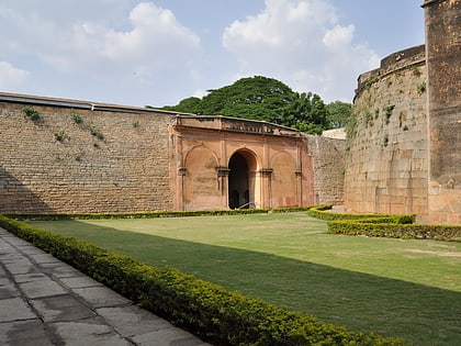
Nearby attractions include: Tipu Sultan's Summer Palace, Bull Temple, Basavanagudi Aquatic Centre, Avenue Road.
Frequently Asked Questions (FAQ)
How to get to Vijayanagar by public transport?
The nearest stations to Vijayanagar:
Bus
Metro
Bus
- Hampinagara 7th Cross • Lines: 401B (6 min walk)
- Hampinagara Bus Stand • Lines: 176, 401B (8 min walk)
Metro
- Attiguppe • Lines: Purple (12 min walk)
- Deepanjali Nagar • Lines: Purple (15 min walk)
