Hulimavu, Bangalore
Map
Facts and practical information
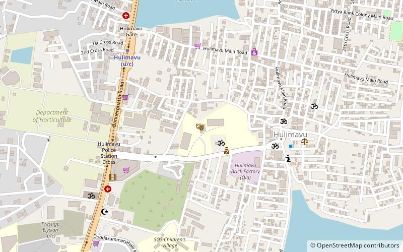
Hulimavu is a locality in the south of Bangalore under the Bommanahalli Zone of Bruhat Bengaluru Mahanagara Palike. ()
Coordinates: 12°52'12"N, 77°35'60"E
Address
Bangalore
ContactAdd
Social media
Add
Day trips
Hulimavu – popular in the area (distance from the attraction)
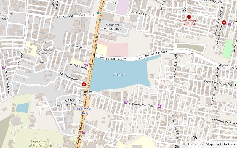
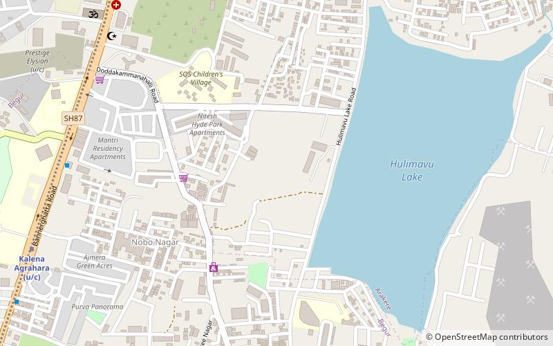
Nearby attractions include: Arekere Lake, Masjid-e-Bilal, Ranga Shankara, Jaraganahalli Lake.
Frequently Asked Questions (FAQ)
Which popular attractions are close to Hulimavu?
Nearby attractions include BGS National Public School, Bangalore (14 min walk), Hulimavu cave Temple, Bangalore (15 min walk), Arekere Lake, Bangalore (24 min walk).
How to get to Hulimavu by public transport?
The nearest stations to Hulimavu:
Bus
Bus
- Loyola School • Lines: G4 (12 min walk)
- Meenakshi Temple • Lines: G4 (13 min walk)
