Nizamuddin East, Delhi
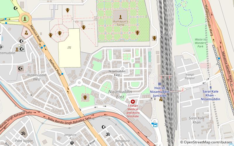
Map
Facts and practical information
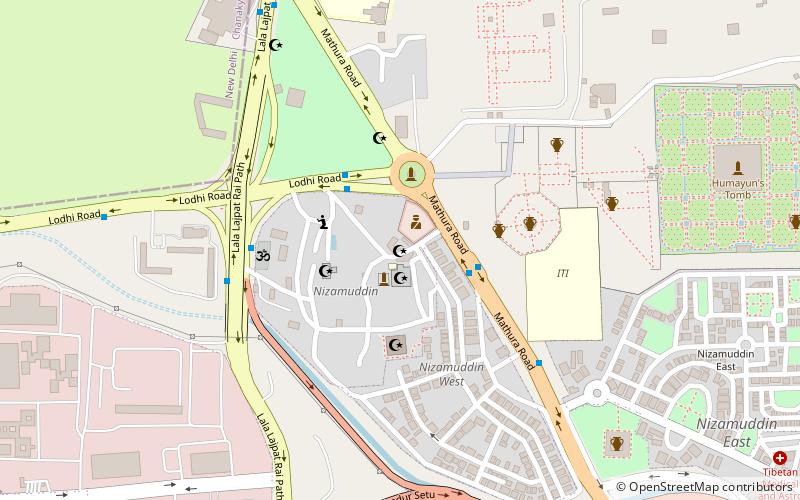
Nizamuddin East is an affluent residential colony in South East Delhi, India. It is located on Mathura Road and is home to Humayun's Tomb, as well as that of Abdul Rahim Khan-I-Khana. There are several other monuments in the area. The colony has 286 houses, including Jaipur Estate, and 32 public parks. ()
Coordinates: 28°35'23"N, 77°15'1"E
Address
Central Delhi (Nizamuddin)Delhi
ContactAdd
Social media
Add
Day trips
Nizamuddin East – popular in the area (distance from the attraction)
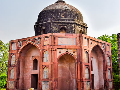
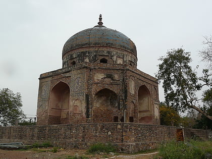
Nearby attractions include: Humayun's Tomb, Delhi Golf Club, National Zoological Park Delhi, Afsarwala tomb.
Frequently Asked Questions (FAQ)
Which popular attractions are close to Nizamuddin East?
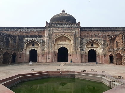
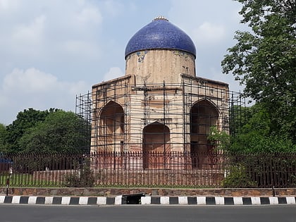
Nearby attractions include Arab Serai, Delhi (5 min walk), Nila Gumbad, Delhi (6 min walk), Humayun's Tomb, Delhi (7 min walk), Afsarwala tomb, Delhi (7 min walk).
How to get to Nizamuddin East by public transport?
The nearest stations to Nizamuddin East:
Train
Bus
Metro
Train
- Hazrat Nizamuddin Junction (5 min walk)
- Lajpat Nagar (21 min walk)
Bus
- Hazarat Nizamuddin • Lines: 166, 181A, 405, 410, 410A, 418A, 429 (8 min walk)
- Nizamuddin Railway Station • Lines: 166, 181A, 794 (8 min walk)
Metro
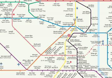
- Hazrat Nizamuddin • Lines: Pink Line (11 min walk)
- Jangpura • Lines: Violet Line (21 min walk)
 Metro
Metro
