Kakadeo, Kanpur

Map
Facts and practical information
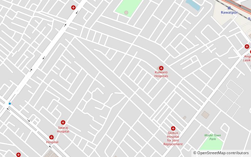
Kakadeo is a locality in Kanpur, Uttar Pradesh, India. Kakadeo has a very deep history. It was ruled by the Chandela dynasty for hundreds of years and is known for temples built by the Chandel Thakurs, some which are centuries old. Kakadeo was also known as village of temples in early days. Two of the most famous temples are the temple of 'Kaka Baba', after whom Kakadeo is named. ()
Coordinates: 26°28'44"N, 80°17'28"E
Address
Kanpur
ContactAdd
Social media
Add
Day trips
Kakadeo – popular in the area (distance from the attraction)
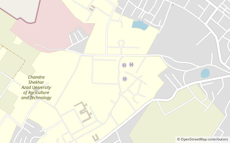
Nearby attractions include: Harcourt Butler Technical University, JK Temple, Rave @ Moti, Chandra Shekhar Azad University of Agriculture and Technology.
Frequently Asked Questions (FAQ)
How to get to Kakadeo by public transport?
The nearest stations to Kakadeo:
Train
Metro
Train
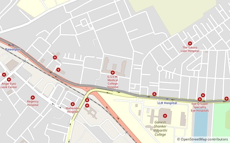
- Rawatpur (14 min walk)
Metro
- Geeta Nagar • Lines: 1 (15 min walk)
- Rawatpur • Lines: 1 (16 min walk)


