Bartala, Kolkata
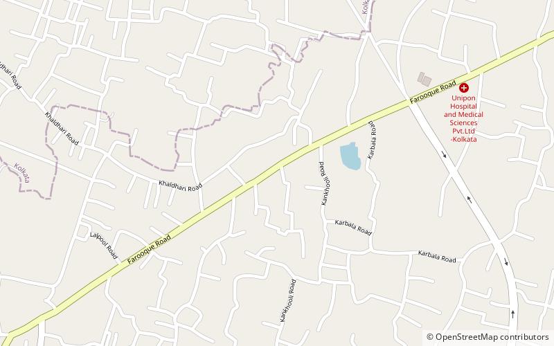
Map
Facts and practical information
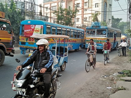
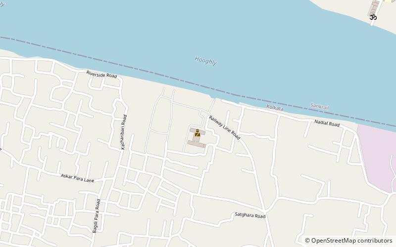
Bartala is a neighbourhood of South West Kolkata in West Bengal state of India. It is situated at southern part of Kolkata near to Metiabruz and Garden Reach in the east and Akra Phatak on the west. The area is populated with mainly Muslims. The area has a post office named Bartala Post office with Pin code 700018. ()
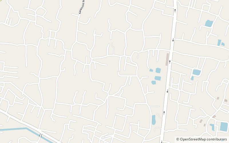
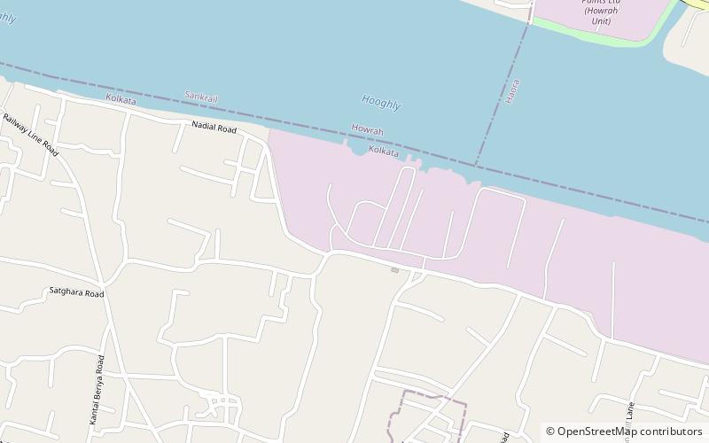
Coordinates: 22°32'30"N, 88°15'50"E
Address
MetiabruzKolkata
ContactAdd
Social media
Add
Day trips
Bartala – popular in the area (distance from the attraction)
Nearby attractions include: Podrah, Badartala, Santoshpur, Rajabagan.
Frequently Asked Questions (FAQ)
Which popular attractions are close to Bartala?
Nearby attractions include Santoshpur, Kolkata (16 min walk), Rajabagan, Kolkata (23 min walk).
