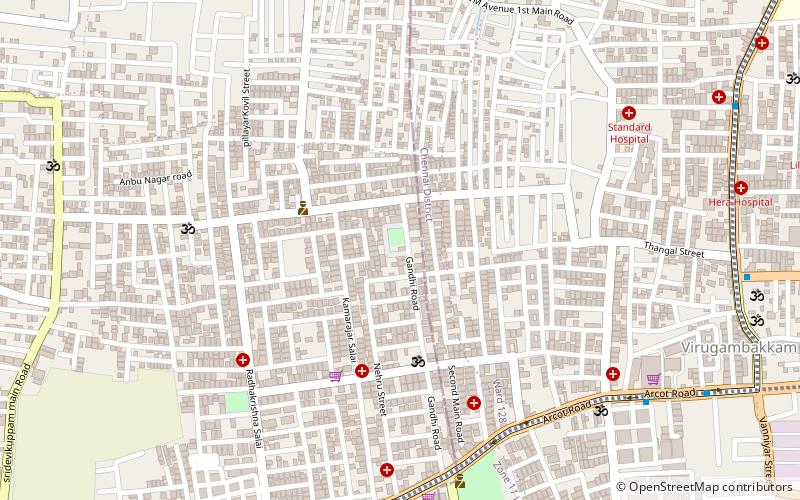
Saligramam, Ambattur
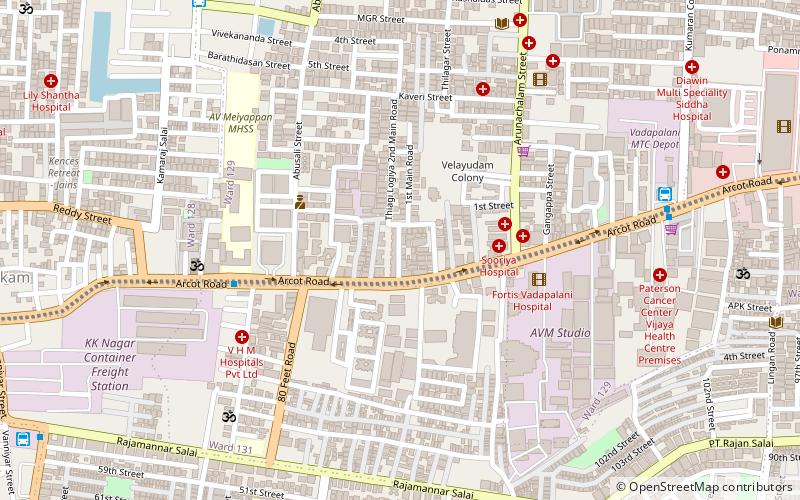
Map
Facts and practical information
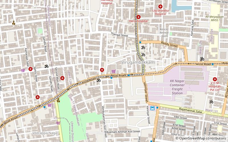
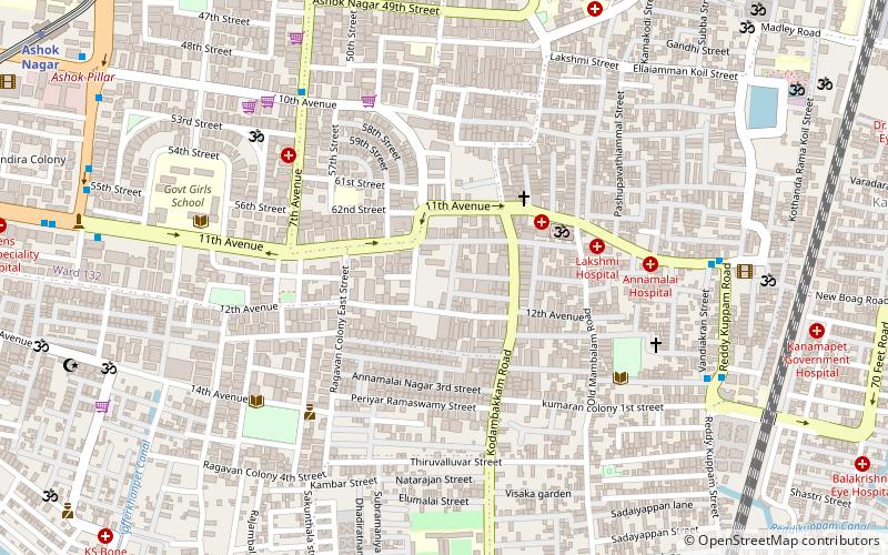
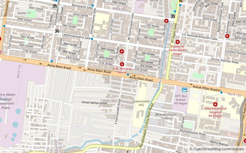
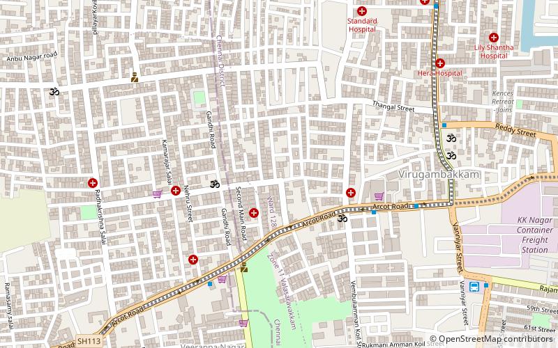
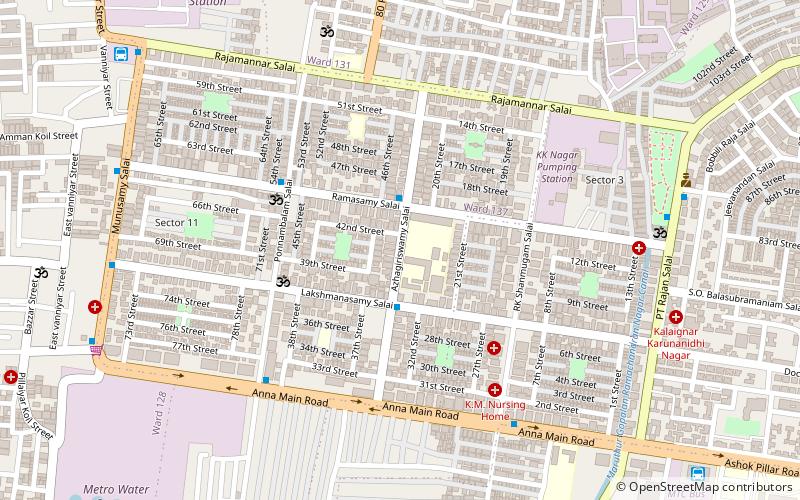
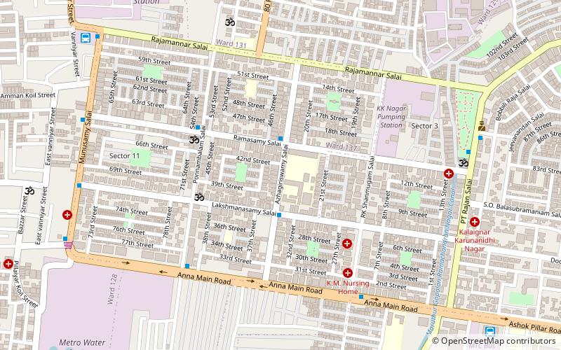
Saligramam is a residential locality situated in the western part of Chennai, Tamil Nadu, India. Saligramam is surrounded by Vadapalani in the east, Virugambakkam in the west, KK Nagar in the south and Koyambedu in the north. Saligramam was part of Saidapet Taluk in Chengalpattu district before it was merged with Chennai City and district in 1977. ()
Coordinates: 13°2'53"N, 80°12'5"E
Address
Kodambakkam (Saligramam)Ambattur
ContactAdd
Social media
Add
Day trips
Saligramam – popular in the area (distance from the attraction)
Nearby attractions include: Chandra Mall, St. Anne's Church, Vadapalani Andavar Temple, Prasanna Venkatesa Perumal Temple.
Frequently Asked Questions (FAQ)
Which popular attractions are close to Saligramam?
Nearby attractions include K. K. Nagar, Ambattur (15 min walk), Nesapakkam, Ambattur (15 min walk), Vadapalani Andavar Temple, Chennai (19 min walk), Vadapalani, Chennai (20 min walk).
How to get to Saligramam by public transport?
The nearest stations to Saligramam:
Bus
Metro
Bus
- Vadapalani Bus Terminus (10 min walk)
- Saligramam Bus Terminus (12 min walk)
Metro
- Vadapalani • Lines: 2 (19 min walk)
- Ashok Nagar • Lines: 2 (28 min walk)
