Attapur, Hyderabad
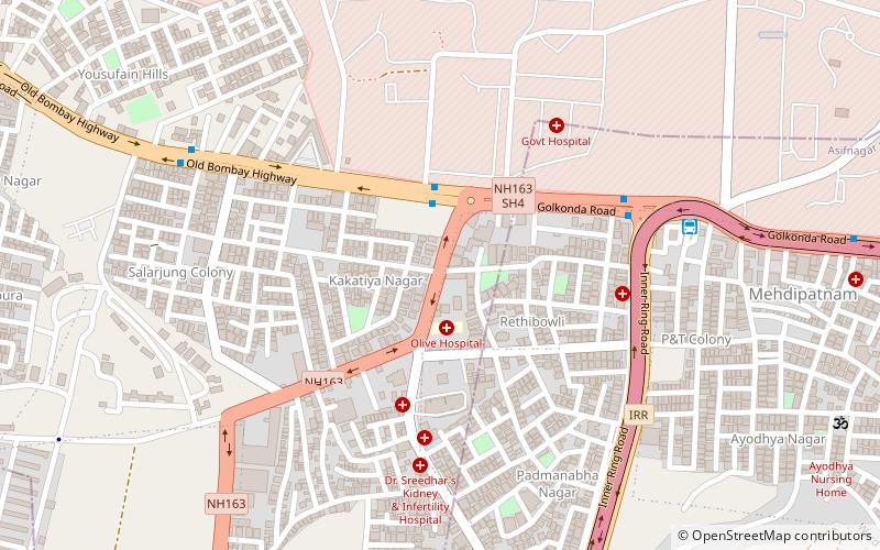
Map
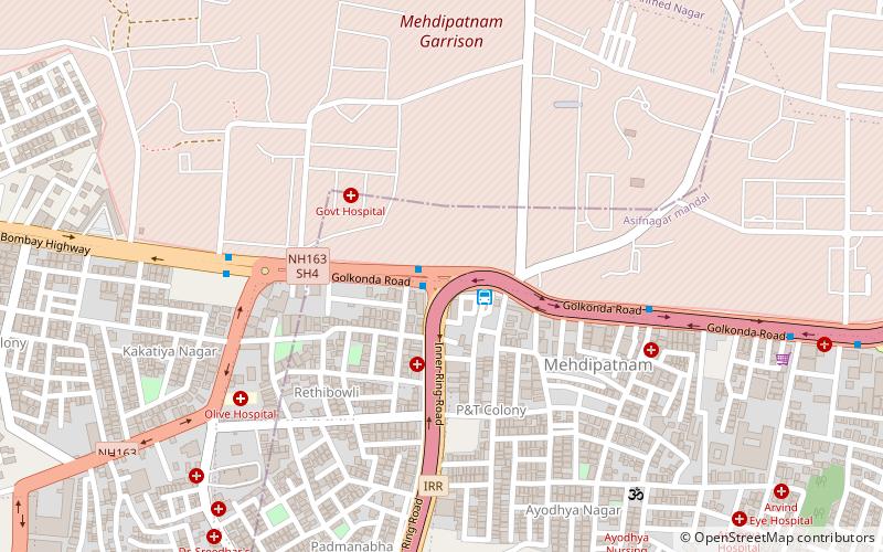
Map

Facts and practical information
Attapur is a major commercial and residential area located in South western Hyderabad, Telangana. It is named behind a local muslim zamindar or land lord, Nawab Attaullah. ()
Coordinates: 17°23'45"N, 78°25'52"E
Address
Erstwhile Circle-IV (Nanalnagar)Hyderabad
ContactAdd
Social media
Add
Day trips
Attapur – popular in the area (distance from the attraction)
Nearby attractions include: Banjara Lake, Mehdipatnam, Laxminagar Colony, Nanalnagar.
Frequently Asked Questions (FAQ)
Which popular attractions are close to Attapur?
Nearby attractions include Mehdipatnam, Hyderabad (1 min walk), Nanalnagar, Hyderabad (8 min walk), Laxminagar Colony, Hyderabad (17 min walk).
How to get to Attapur by public transport?
The nearest stations to Attapur:
Bus
Bus
- Rethibowli • Lines: 216M (1 min walk)
- Telecom colony, Gachi bowli (2 min walk)
