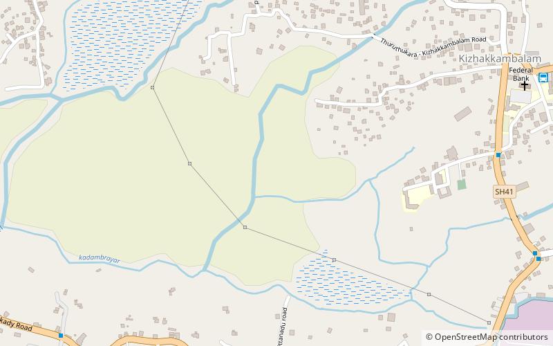
Kizhakkambalam, Kochi

Gallery (2)
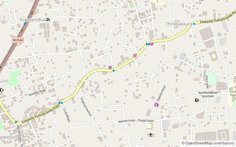
Map
Map
Gallery
Facts and practical information
Kizhakkambalam is an eastern suburb of the city of Kochi in Ernakulam district, Kerala, India. It is regarded as a model panchayat for its various development activities and is a part of the Kunnathunad tehsil of the Ernakulam district. ()
Area: 12.36 mi²Coordinates: 10°2'0"N, 76°24'0"E
Address
Kochi
ContactAdd
Social media
Add
Getting there by public transportation
Public transportation stops near this location
- Bus
 Bus
Bus
- Calculate routeMaavinchuvadu 12 min walk
- Calculate routeChittanadu 12 min walk
- Calculate routeTwenty 20 Nagar 14 min walk
- Calculate routeKizhakkambalam 15 min walk
Day trips


Frequently Asked Questions (FAQ)
How to get to Kizhakkambalam by public transport?
The nearest stations to Kizhakkambalam:
Bus
Bus
- Maavinchuvadu • Lines: Aluva → Karimugal, Aluva → Puthencruz, Aluva → Thrippoonithura, Aluva → Vyttila Mobility Hub, Kakkanad → Perumbavoor, Kaloor → Aluva, Karimugal → Aluva, Perumbavoor → Kakkanad, Perumbavoor → Thrippoonithura, Pukkattupady → Kaloor, Puthencruz → Aluva, Thrippoonithura → Aluva, Thrippoonithura → Perumbavoor, Vyttila Mobility Hub → Aluva (12 min walk)
- Chittanadu • Lines: Kakkanad → Perumbavoor, Perumbavoor → Kakkanad (12 min walk)