Soldierpet, Visakhapatnam
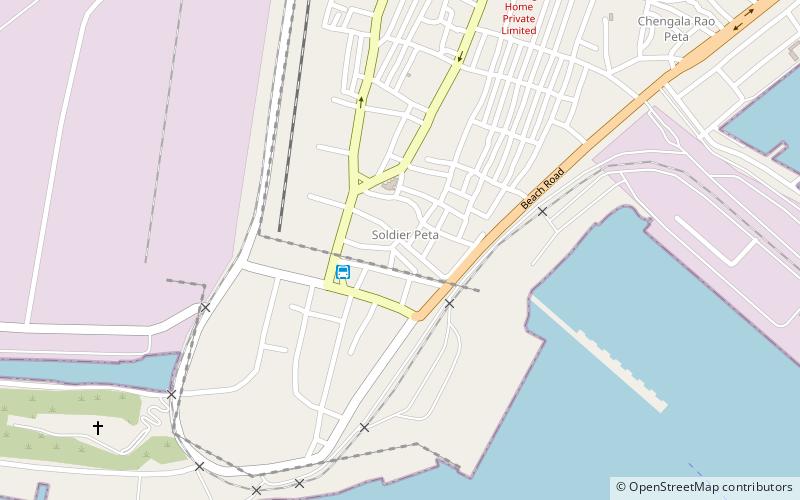
Map
Facts and practical information
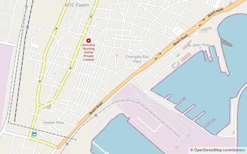
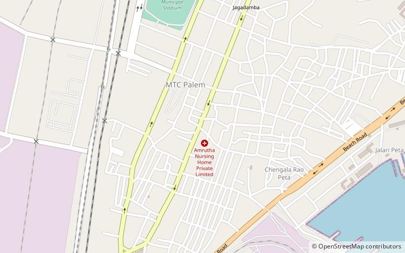
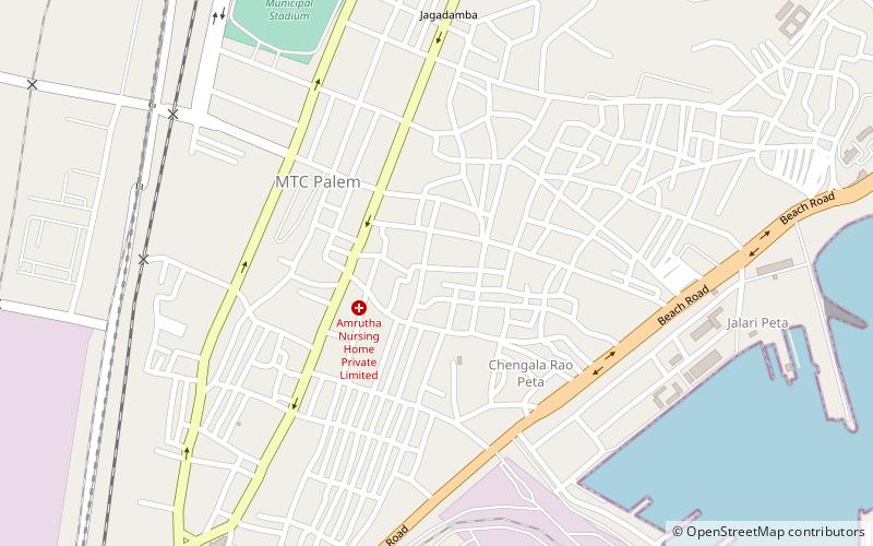
Soldierpet is one of the oldest neighbourhoods in Visakhapatnam, Andhra Pradesh, India. In the 18th century the area was a residential colony for the British Army. ()
Coordinates: 17°41'39"N, 83°17'37"E
Address
Visakhapatnam
ContactAdd
Social media
Add
Day trips
Soldierpet – popular in the area (distance from the attraction)
Nearby attractions include: Town Hall Visakhapatnam, Visakhapatnam Fishing Harbour, Sri Kanaka Maha Lakshmi Temple, Visakhapatnam Port.
Frequently Asked Questions (FAQ)
Which popular attractions are close to Soldierpet?
Nearby attractions include One Town, Visakhapatnam (3 min walk), Chengal Rao Peta, Visakhapatnam (9 min walk), Town Hall Visakhapatnam, Visakhapatnam (11 min walk), Sri Kanaka Maha Lakshmi Temple, Visakhapatnam (13 min walk).
