Trek Zone

Town Kotha Road, Visakhapatnam

#86 among attractions in Visakhapatnam

Neighbourhood
Town Kotha Road

Facts and practical information
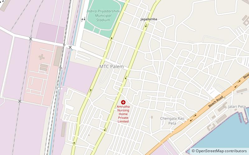
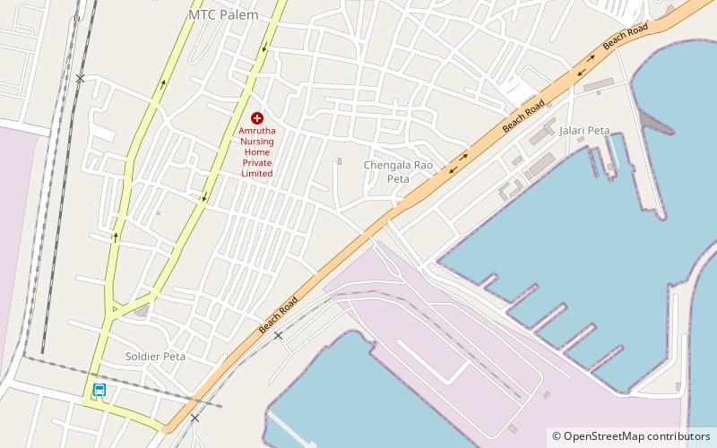
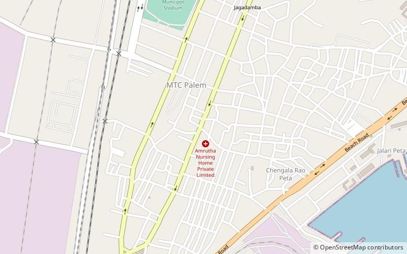
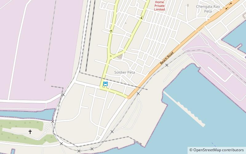
Coordinates: 17°42'5"N, 83°17'46"E
Address

Visakhapatnam India

ContactAdd
Social media
Add

Visakhapatnam plan & book

Unleash the traveler in you — discover the cheapest flight deals, find the perfect hotel or hostel nearby, and search for the best car rental prices. Travel at your own pace to discover new places and enjoy your journey.

Day trips

Town Kotha Road – popular in the area (distance from the attraction)

Nearby attractions include: Nowroji Road, Town Hall Visakhapatnam, Visakhapatnam Fishing Harbour, Sri Kanaka Maha Lakshmi Temple.

  • nowroji road visakhapatnam1.5 miNE
  • town hall visakhapatnam location map
    ~1680 ftSE
  • visakhapatnam fishing harbour0.6 miSE
  • sri kanaka maha lakshmi temple visakhapatnam location map
    ~350 ftS
  • visakhapatnam port1.2 miW
  • machilipatnam port visakhapatnam location map
    1.2 miW
  • dugarajapatnam port visakhapatnam location map
    1.2 miW
  • one town visakhapatnam0.4 miS
  • velampeta visakhapatnam~970 ftN
  • poorna market visakhapatnam~1950 ftN
  • soldierpet visakhapatnam location map
    0.5 miS

Frequently Asked Questions (FAQ)

Which popular attractions are close to Town Kotha Road?

Nearby attractions include Sri Kanaka Maha Lakshmi Temple, Visakhapatnam (2 min walk), Burujupeta, Visakhapatnam (3 min walk), Velampeta, Visakhapatnam (5 min walk), Visakhapatnam geography and environment, Visakhapatnam (6 min walk).

Where to next? Visit andhra pradesh Andhra Pradesh region page or discover the top tourist attractions in India.