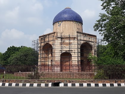
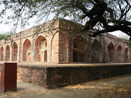
Lajpat Nagar, Delhi
Map
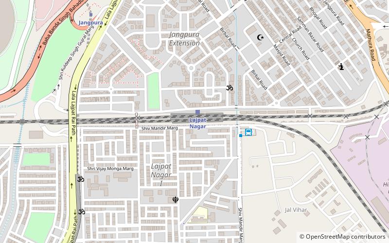
Map

Facts and practical information
Lajpat Nagar is a residential and commercial neighborhood in the South East Delhi district of Delhi. It was named in honor of Lala Lajpat Rai and is today most known for the Lajpat Nagar Central Market. This area is not to be confused with the Lajpat Nagar in Ghaziabad in the NCR region. ()
Coordinates: 28°34'44"N, 77°14'38"E
Address
South Delhi (Jangpura)Delhi
ContactAdd
Social media
Add
Day trips
Lajpat Nagar – popular in the area (distance from the attraction)
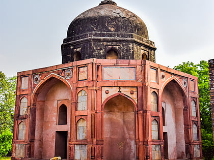
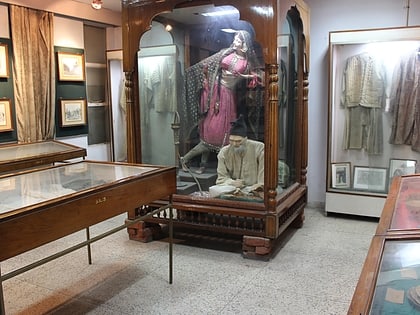
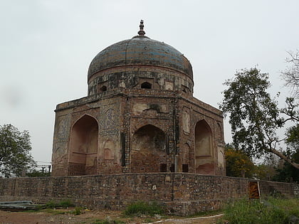
Nearby attractions include: Humayun's Tomb, Afsarwala tomb, Ansal Plaza, Ghalib Museum.
Frequently Asked Questions (FAQ)
Which popular attractions are close to Lajpat Nagar?
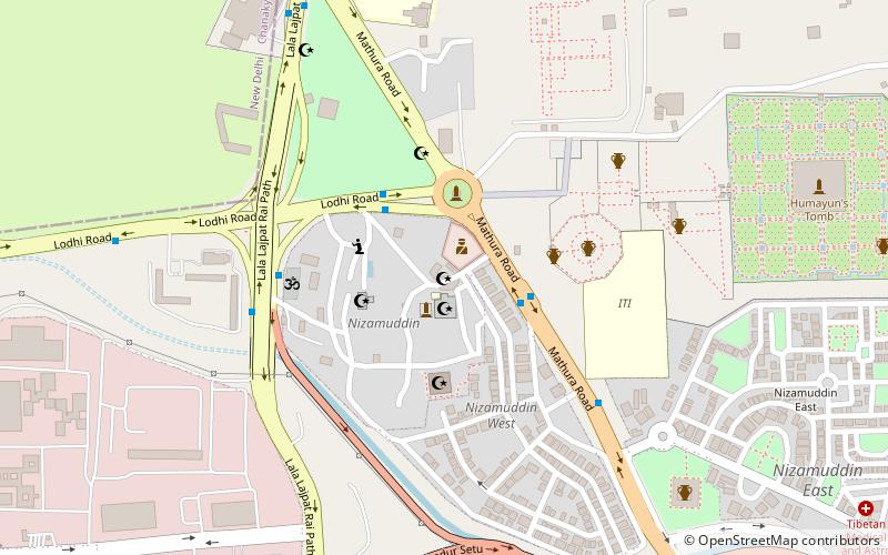
Nearby attractions include Nizamuddin West, Delhi (13 min walk), Jangpura, Delhi (13 min walk), Nizamuddin East, Delhi (22 min walk), Ghalib Museum, Delhi (23 min walk).
How to get to Lajpat Nagar by public transport?
The nearest stations to Lajpat Nagar:
Train
Bus
Metro
Train
- Lajpat Nagar (1 min walk)
- Hazrat Nizamuddin Junction (24 min walk)
Bus
- Jal Vihar Terminal • Lines: 410, 410A, 450 (4 min walk)
- Defence Colony • Lines: 411, 419, 423, 425, 445A, 727 (15 min walk)
Metro
- Jangpura • Lines: Violet Line (11 min walk)
- Lajpat Nagar • Lines: Pink Line, Violet Line (19 min walk)

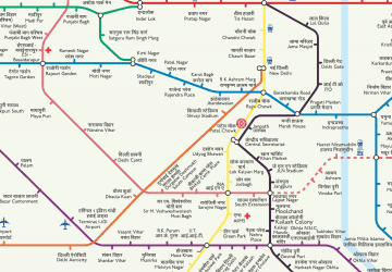 Metro
Metro
