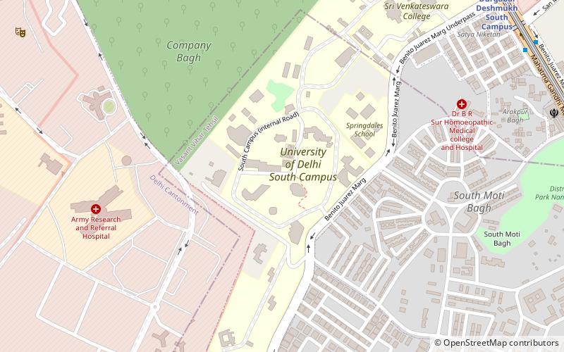
Dhaula Kuan, Delhi
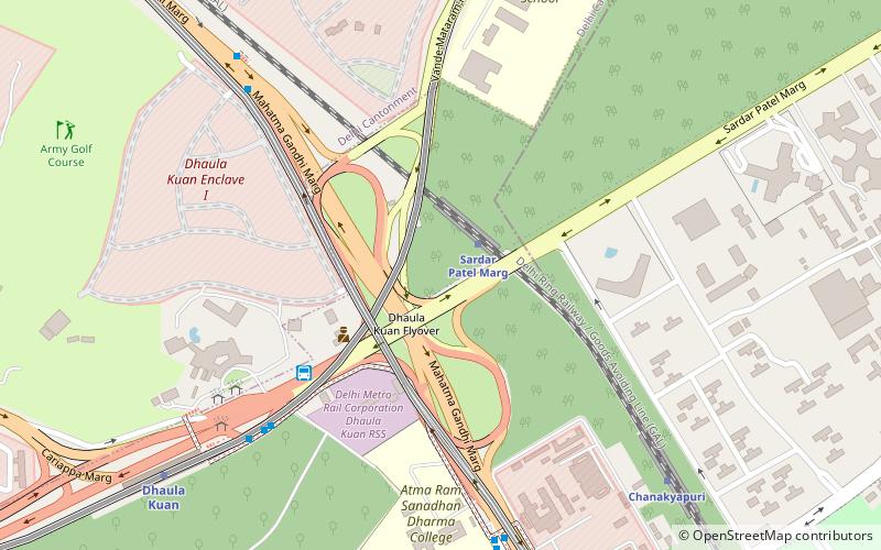
Map
Facts and practical information
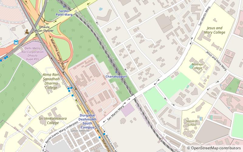
Dhaula Kuan is a major intersection of roads in Delhi, India. The name also now refers to the neighbourhood surrounding the intersection. ()
Coordinates: 28°35'43"N, 77°10'2"E
Address
New Delhi (N.D. Charge 3)Delhi
ContactAdd
Social media
Add
Day trips
Dhaula Kuan – popular in the area (distance from the attraction)
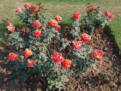
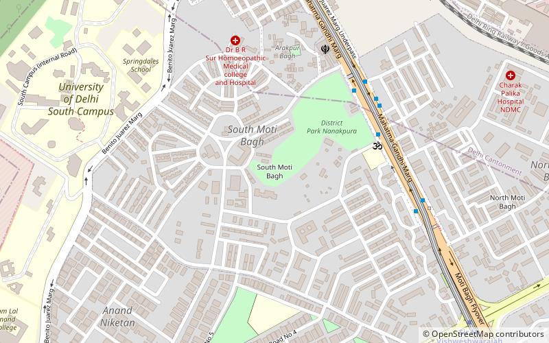
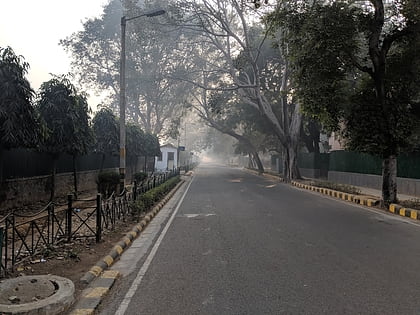
Nearby attractions include: National Rail Museum, Chanakyapuri, Rose Garden, New Moti Bagh.
Frequently Asked Questions (FAQ)
Which popular attractions are close to Dhaula Kuan?
Nearby attractions include Chanakyapuri, Delhi (10 min walk), New Moti Bagh, Delhi (23 min walk).
How to get to Dhaula Kuan by public transport?
The nearest stations to Dhaula Kuan:
Train
Bus
Metro
Train
- Sardar Patel Marg (2 min walk)
- Chanakyapuri (10 min walk)
Bus
- Goldline Super Deluxe Bus Station (6 min walk)
- Dhaula Kuan • Lines: (-) Oms, (+) Oms, 323, 392, 479A, 507, 511A, 523, 543, 543A, 543B, 611, 711, 740, 740Ex, 794, 874, Gurgaon → Anand Vihar ISBT, Karol Bagh → Gurgaon (9 min walk)
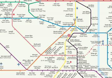
Metro
- Dhaula Kuan • Lines: AEx (11 min walk)
- Durgabai Deshmukh South Campus • Lines: Pink Line (12 min walk)
 Metro
Metro
