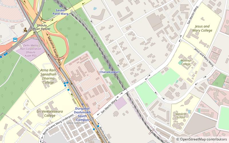
Chanakyapuri, Delhi
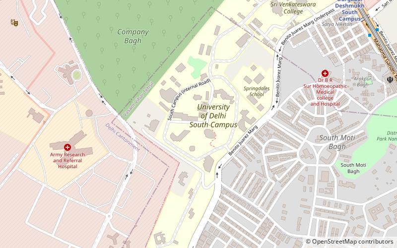
Map
Facts and practical information
Chanakyapuri is a neighbourhood and diplomatic enclave established in the 1950s in New Delhi. It is also a sub-division of the New Delhi district and plays host to the majority of foreign embassies in New Delhi. Chanakyapuri, meaning "city of Chanakya", is named after Chanakya, a third-century BC advisor to Chandragupta Maurya. ()
Address
New Delhi (N.D. Charge 9)Delhi
ContactAdd
Social media
Add
Getting there by public transportation
Public transportation stops near this location
- Metro
- Bus
- Train
 Metro
Metro
- Calculate routeChanakyapuri 1 min walk
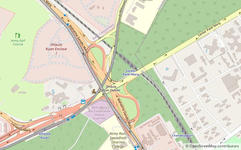
- Calculate routeSardar Patel Marg 10 min walk
- Calculate routeDelhi Safdarjang 28 min walk
- Calculate routeDurgabai Deshmukh South Campus 6 min walk
- Calculate routeDhaula Kuan 16 min walk
- Calculate routeSir Vishweshwaraiah Moti Bagh 24 min walk
- Calculate routeDhaula Kuan 6 min walk
- Calculate routeSatya Niketan 12 min walk
Maps Metro
Metro
MetroDay trips


Frequently Asked Questions (FAQ)
Which popular attractions are close to Chanakyapuri?
Nearby attractions include Dhaula Kuan, Delhi (10 min walk), New Moti Bagh, Delhi (16 min walk), National Rail Museum, Delhi (19 min walk), Rose Garden, Delhi (23 min walk).
How to get to Chanakyapuri by public transport?
The nearest stations to Chanakyapuri:
Train
Metro
Bus
Train
- Chanakyapuri (1 min walk)
- Sardar Patel Marg (10 min walk)
Metro
- Durgabai Deshmukh South Campus • Lines: Pink Line (6 min walk)
- Dhaula Kuan • Lines: AEx (16 min walk)
Bus
- Dhaula Kuan • Lines: (+) Oms, 323, 392, 479A, 507, 511A, 523, 543B, 611, 711, 724, 794, 874 (6 min walk)
- Satya Niketan • Lines: (-) Oms, (-) Tms, (+) Oms, (+) Tms, 323, 392, 442, 448, 448A, 479, 479A, 507, 511A, 523, 543, 543A, 543B, 569, 588, 611, 711, 724, 724Ext, 794, 874, 984, Anand Vihar ISBT → Gurgaon (12 min walk)