Binnamangala, Bangalore

Map
Facts and practical information
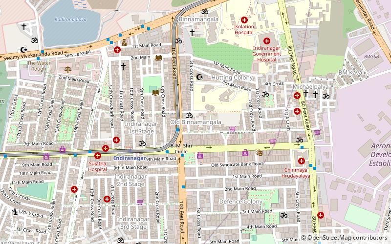
Binnamangala is one of the early settlements in Bengaluru. It is part of C. V. Raman Nagar Assembly constituency in East Bengaluru. This former village was merged with Bangalore Mahanagara Palike in the 1981 census. ()
Coordinates: 12°58'46"N, 77°38'30"E
Address
Hoysala NagarBangalore
ContactAdd
Social media
Add
Day trips
Binnamangala – popular in the area (distance from the attraction)
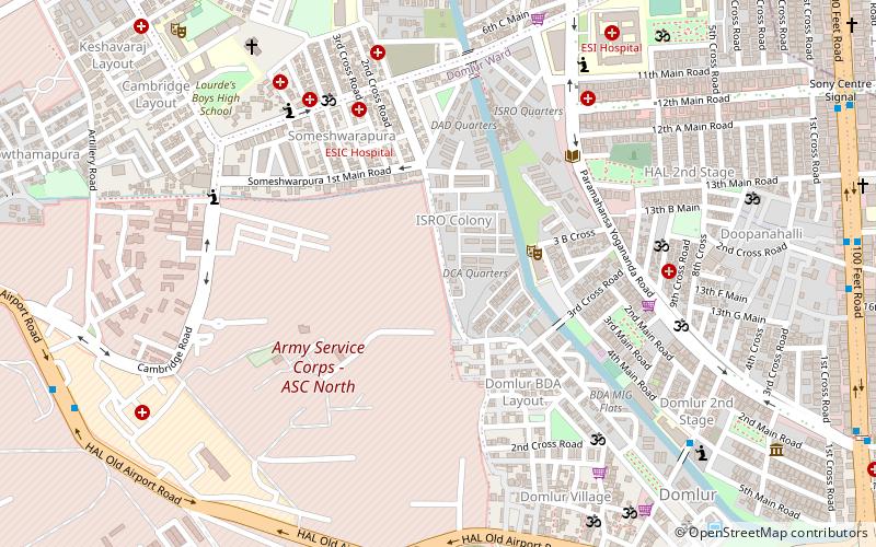
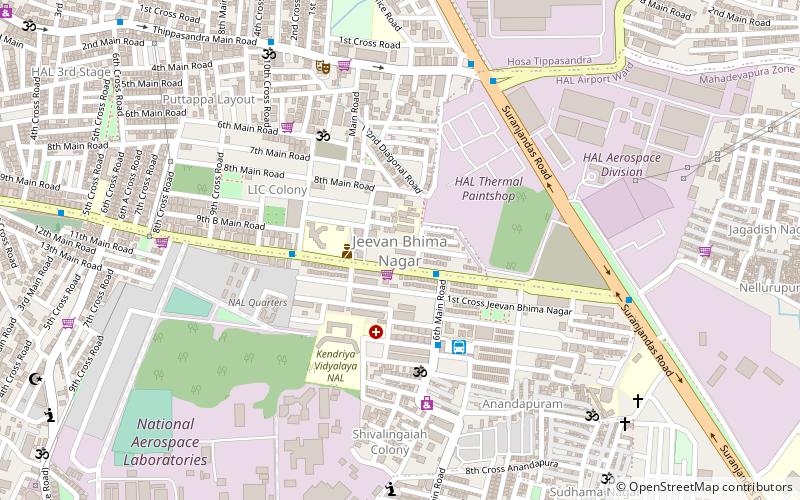
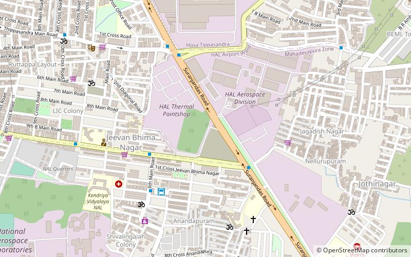
Nearby attractions include: Halasuru Someshwara Temple, Domlur Chokkanathaswamy temple, Bagmane Tech Park, Ulsoor.
Frequently Asked Questions (FAQ)
Which popular attractions are close to Binnamangala?
Nearby attractions include Binnamangala Manavarthe Kaval, Bangalore (9 min walk), Baiyyappanahalli Manavarthe Kaval, Bangalore (22 min walk), Indiranagar, Bangalore (23 min walk).
How to get to Binnamangala by public transport?
The nearest stations to Binnamangala:
Bus
Metro
Train
Bus
- Police Station • Lines: K4 (2 min walk)
- Police Station Indiranagara • Lines: 190, 197 (4 min walk)
Metro
- Indiranagar • Lines: Purple (6 min walk)
- Swami Vivekananda Road • Lines: Purple (13 min walk)
Train
- Baiyyappanahalli Junction (27 min walk)


