Palta, Hugli-Chuchura

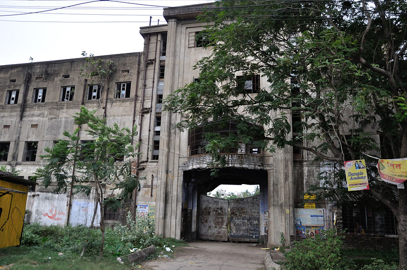
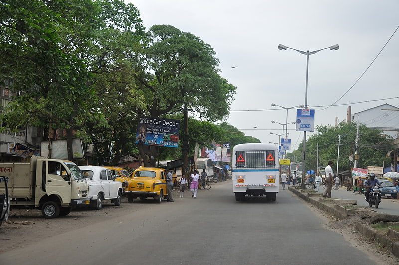
Gallery (2)
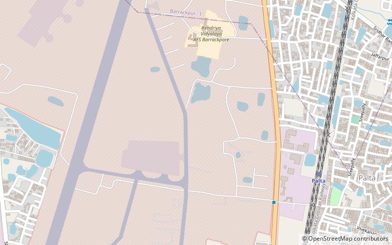
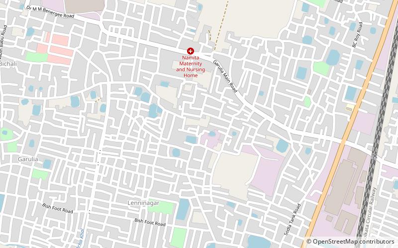
Map
Map
Gallery
Facts and practical information
Palta is a locality in North Barrackpur Municipality of North 24 Parganas district in the Indian state of West Bengal. It is a part of the area covered by Kolkata Metropolitan Development Authority. ()
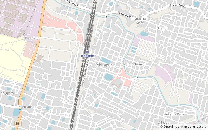
Coordinates: 22°47'5"N, 88°21'54"E
Address
Hugli-Chuchura
ContactAdd
Social media
Add
Getting there by public transportation
Public transportation stops near this location
- Train
 Train
Train
- Calculate routePalta 10 min walk
- Calculate routeIchhapur 31 min walk
Day trips


Frequently Asked Questions (FAQ)
How to get to Palta by public transport?
The nearest stations to Palta:
Train
Train
- Palta (10 min walk)
- Ichhapur (31 min walk)