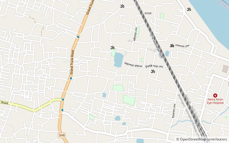
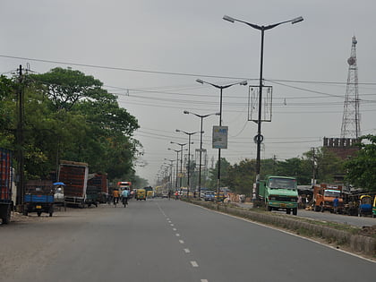
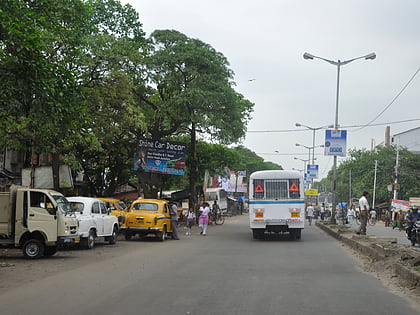
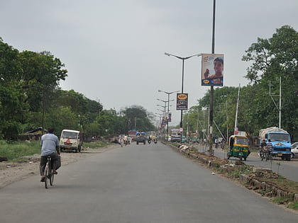
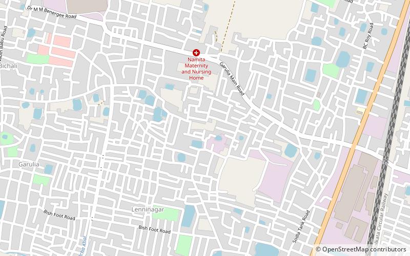
Chatra
#2013 among destinations in India

Facts and practical information
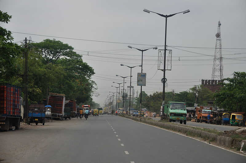
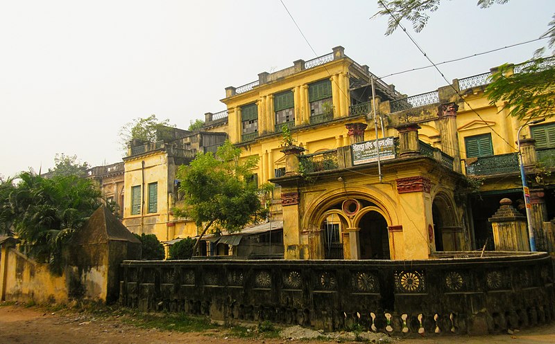
Chatra is a part of both Serampore and Baidyabati in the Indian state of West Bengal. ()
West BengalIndia
Chatra plan & book
Unleash the traveler in you — discover the cheapest flight deals, find the perfect hotel or hostel nearby, and search for the best car rental prices. Travel at your own pace to discover new places and enjoy your journey.
Chatra – popular in the area (distance from the attraction)
Nearby attractions include: Panihati, Khardaha, Shyamnagar, Titagarh.
 Area
AreaPanihati, Kolkata
137 min walk • Panihati is a city and a municipality of North 24 Parganas district in the Indian state of West Bengal. It is close to Kolkata and also a part of the area covered by Kolkata Metropolitan Development Authority.
 Area
AreaKhardaha, Kolkata
105 min walk • Khardaha is a city and a municipality of North 24 Parganas district in the Indian state of West Bengal. It is near Kolkata and also a part of the area covered by Kolkata Metropolitan Development Authority.
 Area
AreaShyamnagar, Hugli-Chuchura
140 min walk • Shyamnagar is a locality in Bhatpara Municipality of North 24 Parganas district in the Indian state of West Bengal. It is a part of the area covered by Kolkata Metropolitan Development Authority.
 Area
AreaTitagarh, Kolkata
85 min walk • Titagarh is a city and a municipality of North 24 Parganas district in the Indian state of West Bengal. It is close to Kolkata and also a part of the area covered by Kolkata Metropolitan Development Authority.
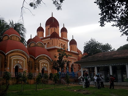
 Church
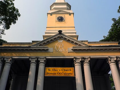
St. Olav's Church
19 min walk • St. Olav's Church is a protestant church under the supervision of Church of North India and the Serampore College Council. It is located in Serampore, West Bengal.
 Area
AreaBhadreswar, Hugli-Chuchura
111 min walk • Bhadreswar is a city and a municipality of Hooghly district in the Indian state of West Bengal. It is a part of the area covered by Kolkata Metropolitan Development Authority.
 Area
AreaGarulia, Hugli-Chuchura
124 min walk • Garulia is a city and a municipality of North 24 Parganas district in the Indian state of West Bengal. It is a part of the area covered by Kolkata Metropolitan Development Authority.
 City
CitySerampore
58 min walk • Serampore is a city of Hooghly district in the Indian state of West Bengal. It is the headquarter of the Srirampore subdivision. It is a part of the area covered by Kolkata Metropolitan Development Authority. It is a pre-colonial city on the west bank of the Hooghly River.
 Neighbourhood
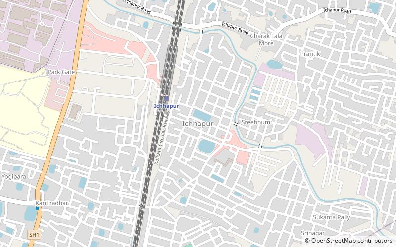
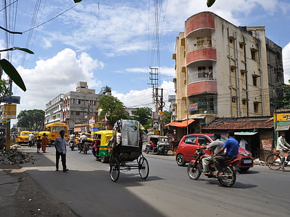
Ichapore
100 min walk • Ichapore or Ichhapur is a locality in North Barrackpur Municipality of North 24 Parganas district in the Indian state of West Bengal. It is a part of the area covered by Kolkata Metropolitan Development Authority.
 Neighbourhood
Sodepur, Kolkata
129 min walk • Sodepur or Sodpur is a locality in Panihati Municipality of North 24 Parganas district in the Indian state of West Bengal. It is close to Kolkata and also a part of the area covered by Kolkata Metropolitan Development Authority.
 Village
Antpur
85 min walk • Antpur is a village in the Jangipara community development block of the Srirampore subdivision in the Hooghly District in the Indian state of West Bengal.