Nathani Heights, Mumbai
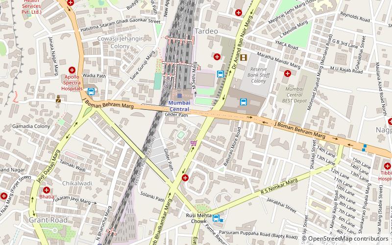
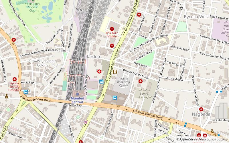
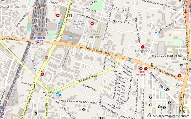
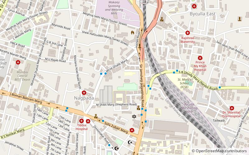
Map
Facts and practical information
Nathani Heights is a residential skyscraper located in Mumbai, Maharashtra, India. The skyscraper is located near the Mumbai Central railway station, which is one of the busiest in Mumbai. The skyscraper which is 262 m tall was proposed in 2011, and construction started a year later in 2012. The full project was completed in 2020. ()
Coordinates: 18°58'7"N, 72°49'12"E
Address
Girgaum (Tardeo)Mumbai
ContactAdd
Social media
Add
Getting there by public transportation
Public transportation stops near this location
- Bus
- Train
 Bus
Bus
- Calculate routeMumbai Central 3 min walk
- Calculate routeGrant Road 12 min walk
- Calculate routeByculla 26 min walk
- Calculate routeMahalaxmi 26 min walk
- Calculate routeMumbai Central Bus Station 4 min walk
- Calculate routeBus Agencies 4 min walk
- Calculate routeTardeo 8 min walk
- Calculate routeVasantrao Naik Chowk Tardeo Bus Station 9 min walk
Day trips


Frequently Asked Questions (FAQ)
Which popular attractions are close to Nathani Heights?
Nearby attractions include Antarang – Sex Health Information Art Gallery, Mumbai (8 min walk), Lamington Road, Mumbai (11 min walk), The Imperial, Mumbai (13 min walk), Carmichael Road, Mumbai (14 min walk).
How to get to Nathani Heights by public transport?
The nearest stations to Nathani Heights:
Train
Bus
Train
- Mumbai Central (3 min walk)
- Grant Road (12 min walk)
Bus
- Mumbai Central Bus Station (4 min walk)
- Bus Agencies (4 min walk)