Yelachenahalli, Bangalore
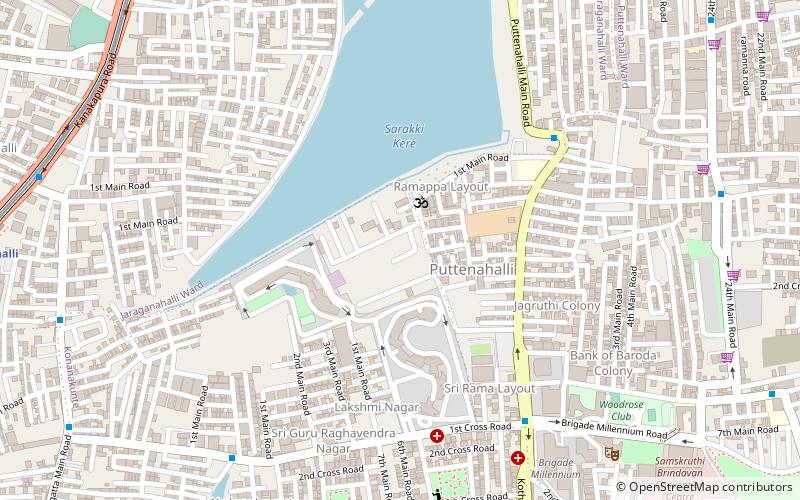
Map
Facts and practical information
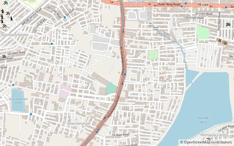
Yelachenahalli is a municipal area on Kanakpura Road, Bangalore, but has fast developed into a hub of development with malls and high rise buildings. Over the last few years, this area has transformed itself into an extension to the IT city. It is very near to JP Nagara, approx 10 km from MG Road, 15 km from Electronic city. ()
Coordinates: 12°53'45"N, 77°34'45"E
Address
Bangalore
ContactAdd
Social media
Add
Day trips
Yelachenahalli – popular in the area (distance from the attraction)
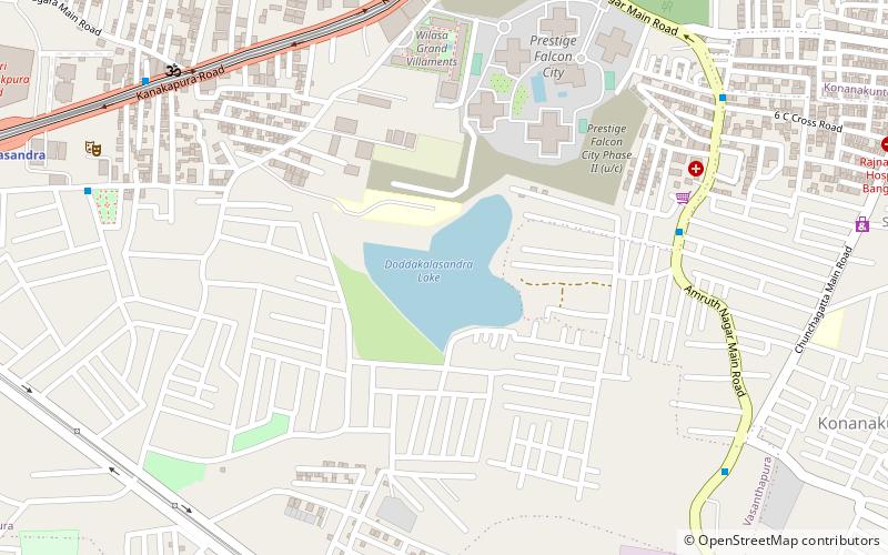
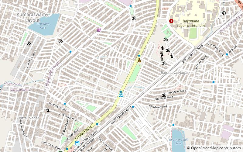
Nearby attractions include: Ranga Shankara, Jaraganahalli Lake, Doddakallasandra Lake, Jayaprakash Nagar.
Frequently Asked Questions (FAQ)
Which popular attractions are close to Yelachenahalli?
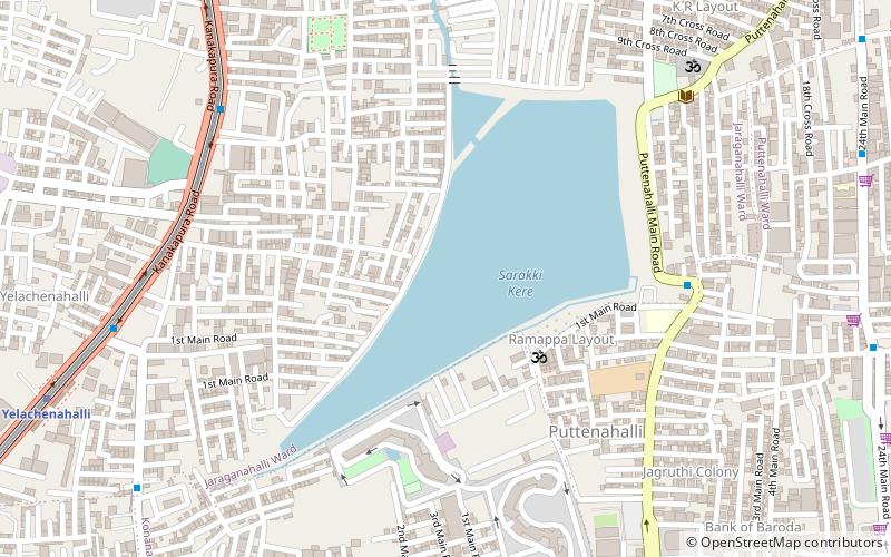
Nearby attractions include Sarakki lake, Bangalore (5 min walk), Jaraganahalli Lake, Bangalore (15 min walk), Puttenahalli Lake, Bangalore (16 min walk).
How to get to Yelachenahalli by public transport?
The nearest stations to Yelachenahalli:
Bus
Metro
Bus
- Yelachenahalli • Lines: As1 (14 min walk)
- Jaraganahalli Cross • Lines: As1 (14 min walk)
Metro
- Yelachenahalli • Lines: Green (16 min walk)
- J P Nagar • Lines: Green (23 min walk)

