Naktala, Kolkata

Map
Facts and practical information
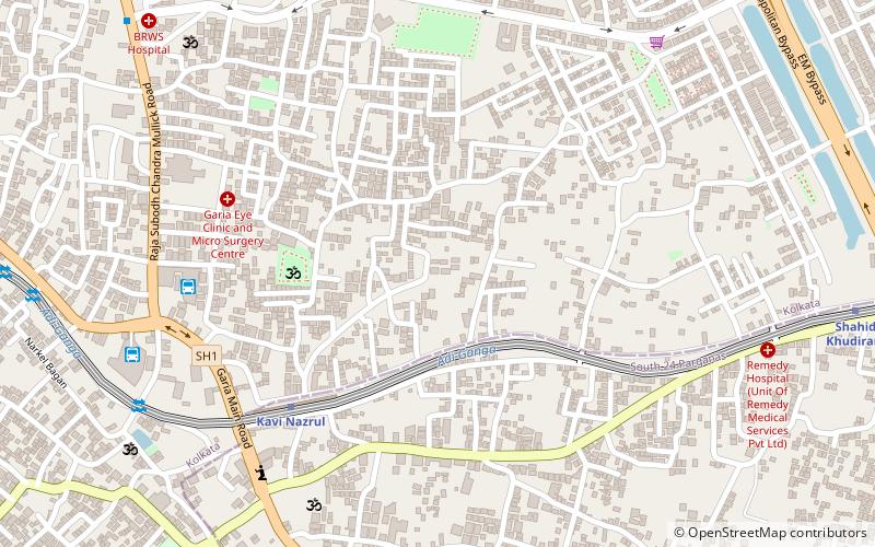
Naktala is a neighbourhood in South Kolkata in West Bengal, India. It is bounded by Ganguly Bagan to the north, Bansdroni to the west, Garia Crossing to the south and Baishnabghata Patuli to the east. ()
Coordinates: 22°28'0"N, 88°22'60"E
Address
JadavpurKolkata
ContactAdd
Social media
Add
Day trips
Naktala – popular in the area (distance from the attraction)
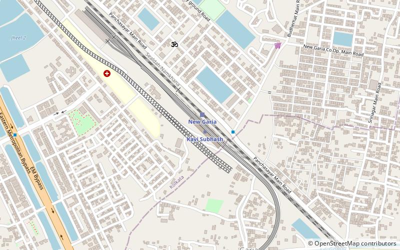
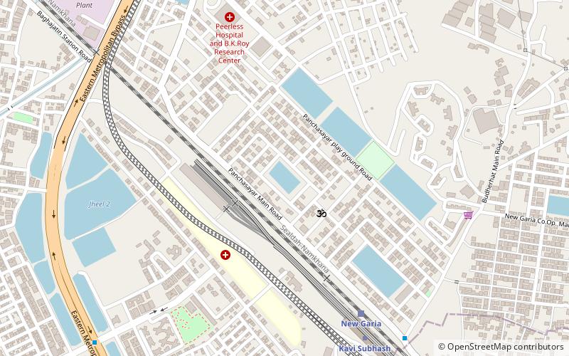
Nearby attractions include: Benubana Chhaya, New Garia, Panchasayar, Garia.
Frequently Asked Questions (FAQ)
Which popular attractions are close to Naktala?
Nearby attractions include Benubana Chhaya, Kolkata (20 min walk), Garia, Kolkata (23 min walk).
How to get to Naktala by public transport?
The nearest stations to Naktala:
Metro
Bus
Train
Metro
- Kavi Nazrul • Lines: 1 (7 min walk)
- Shahid Khudiram • Lines: 1 (14 min walk)
Bus
- Garia 5no. bus terminus (9 min walk)
- Garia 6 no. bus terminus (11 min walk)
Train
- New Garia (26 min walk)
- Bagha Jatin (29 min walk)


