Bangur Avenue, Kolkata
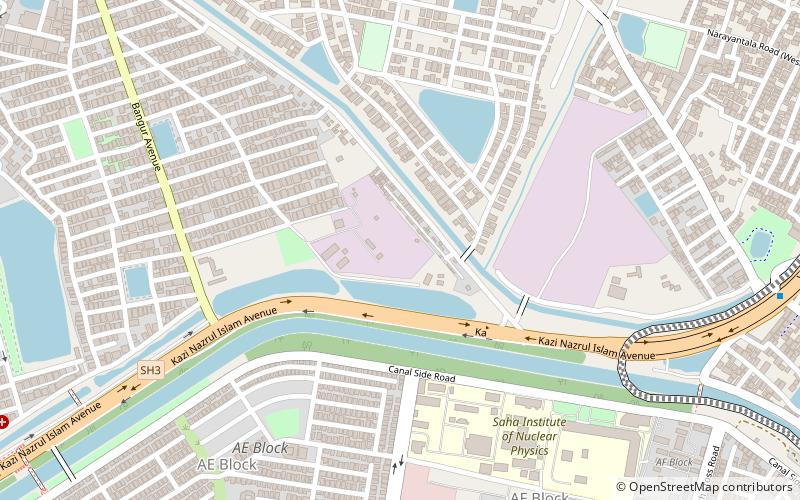
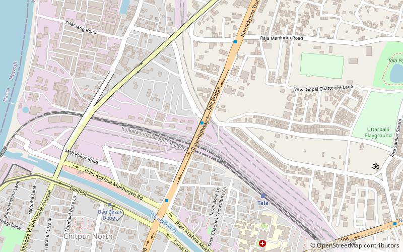
Map
Facts and practical information
Coordinates: 22°36'17"N, 88°24'58"E
Address
Kolkata
ContactAdd
Social media
Add
Getting there by public transportation
Public transportation stops near this location
- Metro
- Bus
 Metro
Metro
- Calculate routeCentral Park 26 min walk
- Calculate route206 Bus Terminal 30 min walk
Day trips


Frequently Asked Questions (FAQ)
Which popular attractions are close to Bangur Avenue?
Nearby attractions include Dum Dum Park, Kolkata (11 min walk), Lake Town, Kolkata (22 min walk).
How to get to Bangur Avenue by public transport?
The nearest stations to Bangur Avenue:
Metro
Bus
Metro
- Central Park • Lines: 2 (26 min walk)
Bus
- 206 Bus Terminal (30 min walk)