Tarnaka, Hyderabad
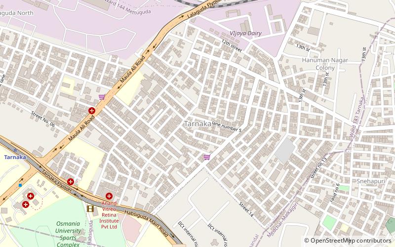
Map
Facts and practical information
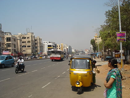
Tarnaka is a major residential and industrial locality in Hyderabad, Telangana, India. Tarnaka literally translates as "wired checkpost". In the local language Tar means wire/cable and naka means check post. Tarnaka used to have a vineyard during the Nizams period. An area called Kimtee colony got its name from the vineyards called Keemthi Gardens. ()
Coordinates: 17°25'43"N, 78°32'17"E
Address
Secunderabad Division (Tarnaka)Hyderabad
ContactAdd
Social media
Add
Day trips
Tarnaka – popular in the area (distance from the attraction)
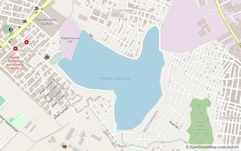
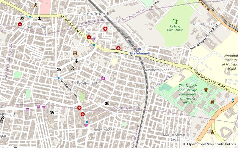
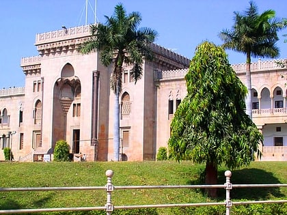
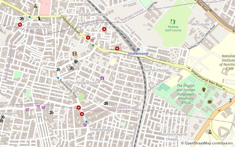
Nearby attractions include: Ramanthapur Lake, Sitaphalmandi, Habsiguda, Osmania University.
Frequently Asked Questions (FAQ)
How to get to Tarnaka by public transport?
The nearest stations to Tarnaka:
Metro
Train
Metro
- Tarnaka • Lines: 3 (14 min walk)
- Habsiguda • Lines: 3 (16 min walk)
Train
- Sitafalmandi (29 min walk)
- Moula Ali (31 min walk)
