Kurumbalakotta, Kalpetta
Map

Map

Facts and practical information
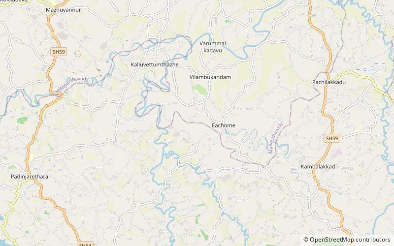
Kurumbalakotta is a hill 20Km west of Kalpetta in Wayanad district, Kerala. It is a monolith hillock in Kerala. It rises to 991 m above sea level. It is situated in the centre of Wayanad and also a part of Deccan plateau and the confluence of Western Ghats and Eastern Ghats. From the hill top, one can see the full scenery of Wayanad plateau. Misty mountains and valleys around the hill gives a pleasant atmosphere for trekkers. ()
Coordinates: 11°41'46"N, 76°2'1"E
Address
Kalpetta
ContactAdd
Social media
Add
Day trips
Kurumbalakotta – popular in the area (distance from the attraction)
Nearby attractions include: Banasura Sagar Dam, Anantnath Swami Temple, Mazhuvannur Maha Siva Kshethram, St. George Forane Church Kallody.


