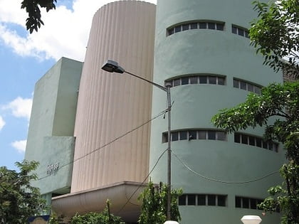
Burtolla, Kolkata

Map
Facts and practical information
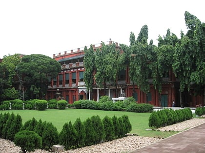
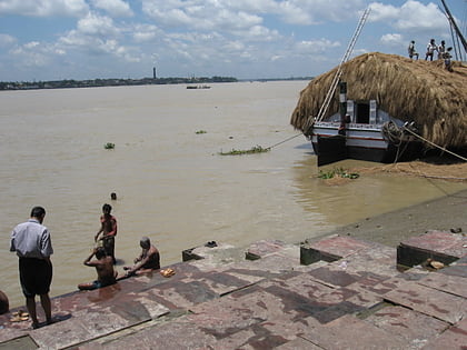
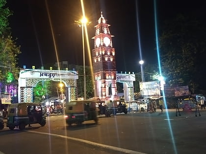
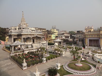
Burtolla is a neighbourhood of North Kolkata in Kolkata district in the Indian state of West Bengal. ()
Coordinates: 22°35'34"N, 88°22'15"E
Address
Shyampukur - BurtollaKolkata
ContactAdd
Social media
Add
Day trips
Burtolla – popular in the area (distance from the attraction)
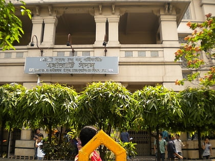
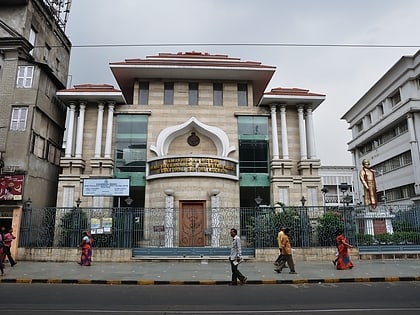
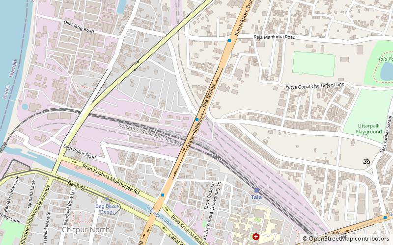
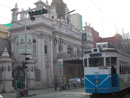
Nearby attractions include: Mahajati Sadan, Ramakrishna Mission Swami Vivekananda's Ancestral House and Cultural Centre, Tala Bridge, Shobhabazar Lal Mandir.
Frequently Asked Questions (FAQ)
Which popular attractions are close to Burtolla?
Nearby attractions include Aurobindo Sarani, Kolkata (4 min walk), AJC Bose Road & APC Road, Kolkata (11 min walk), Shobhabazar, Kolkata (11 min walk), Shyampukur, Kolkata (12 min walk).
How to get to Burtolla by public transport?
The nearest stations to Burtolla:
Metro
Tram
Train
Bus
Metro
- Shobhabazar Sutanuti • Lines: 1 (11 min walk)
- Shyambazar • Lines: 1 (16 min walk)
Tram
- Shyambazar (14 min walk)
Train
- Bagbazar (24 min walk)
- Kolkata Chitpur (27 min walk)
Bus
- 15 No Bus Stand (30 min walk)
