United India Colony, Ambattur
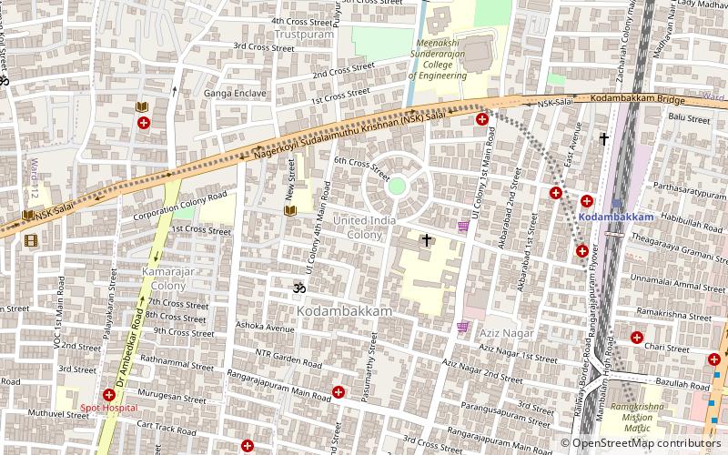
Map
Facts and practical information
Coordinates: 13°3'4"N, 80°13'29"E
Address
Kodambakkam (Navalar Nedunchezian Nagar East)Ambattur
ContactAdd
Social media
Add
Getting there by public transportation
Public transportation stops near this location
- Metro
- Bus
- Train
 Metro
Metro
- Calculate routeKodambakkam 11 min walk
- Calculate routeMambalam 24 min walk
- Calculate routeNungambakkam 30 min walk
- Calculate routeVadapalani 22 min walk
- Calculate routeArumbakkam 30 min walk
- Calculate routeAshok Nagar 37 min walk
- Calculate routeSivan Kovil 23 min walk
- Calculate routeVadapalani Junction 23 min walk
- Calculate routeVadapalani Bus Stop 24 min walk
Day trips


Frequently Asked Questions (FAQ)
Which popular attractions are close to United India Colony?
Nearby attractions include Kodambakkam, Ambattur (4 min walk), Kodambakkam Bridge, Chennai (13 min walk), Madras Kali Bari, Chennai (14 min walk), Trustpuram, Ambattur (14 min walk).
How to get to United India Colony by public transport?
The nearest stations to United India Colony:
Train
Metro
Bus
Train
- Kodambakkam (11 min walk)
- Mambalam (24 min walk)
Metro
- Vadapalani • Lines: 2 (22 min walk)
- Arumbakkam • Lines: 2 (30 min walk)
Bus
- Sivan Kovil • Lines: M70 (23 min walk)
- Vadapalani Junction • Lines: D70 (23 min walk)