Purasawalkam taluk, Chennai
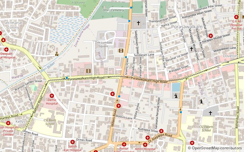
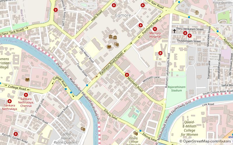
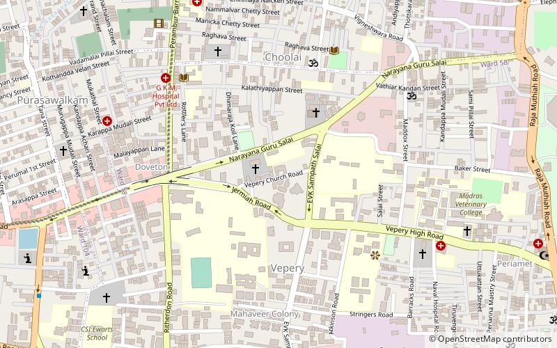
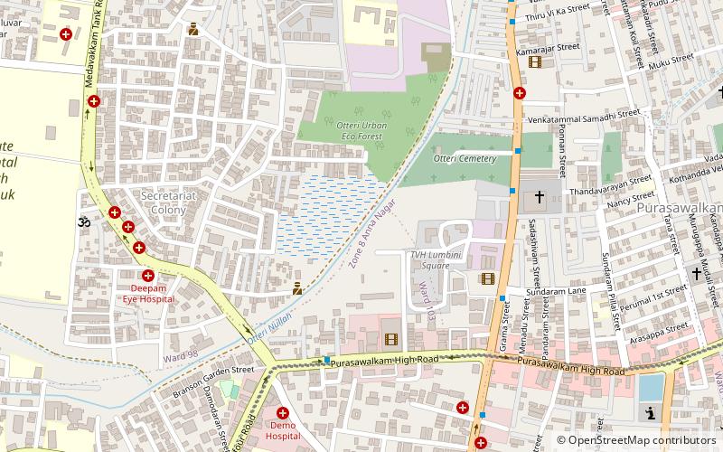
Map
Facts and practical information
Purasaiwalkam taluk is a taluk of the city district of Chennai in the Indian state of Tamil Nadu. It was formed in December 2013 from parts of the erstwhile Fort-Tondiarpet and Perambur-Purasawalkam taluks. It comprises the neighbourhoods of Purasawalkam, Vepery and Periamet. ()
Coordinates: 13°5'9"N, 80°15'2"E
Address
Ayanavaram (Purasawalkam)Chennai
ContactAdd
Social media
Add
Getting there by public transportation
Public transportation stops near this location
- Metro
- Bus
- Train
 Metro
Metro
- Calculate routeNehru Park 13 min walk
- Calculate routeKilpauk 20 min walk
- Calculate routeEgmore Metro 24 min walk
- Calculate routeChennai Egmore 23 min walk
- Calculate routeChennai Chetpat 25 min walk
- Calculate routeEgmore Railway Station 24 min walk
- Calculate routeAyanavaram MTC Terminus 27 min walk
Day trips


Frequently Asked Questions (FAQ)
Which popular attractions are close to Purasawalkam taluk?
Nearby attractions include Purasawalkam, Chennai (1 min walk), Vellala Street, Chennai (5 min walk), Ainsley Canal, Chennai (8 min walk), Doveton, Chennai (14 min walk).
How to get to Purasawalkam taluk by public transport?
The nearest stations to Purasawalkam taluk:
Metro
Train
Bus
Metro
- Nehru Park • Lines: 2 (13 min walk)
- Kilpauk • Lines: 2 (20 min walk)
Train
- Chennai Egmore (23 min walk)
- Chennai Chetpat (25 min walk)
Bus
- Egmore Railway Station (24 min walk)
- Ayanavaram MTC Terminus (27 min walk)