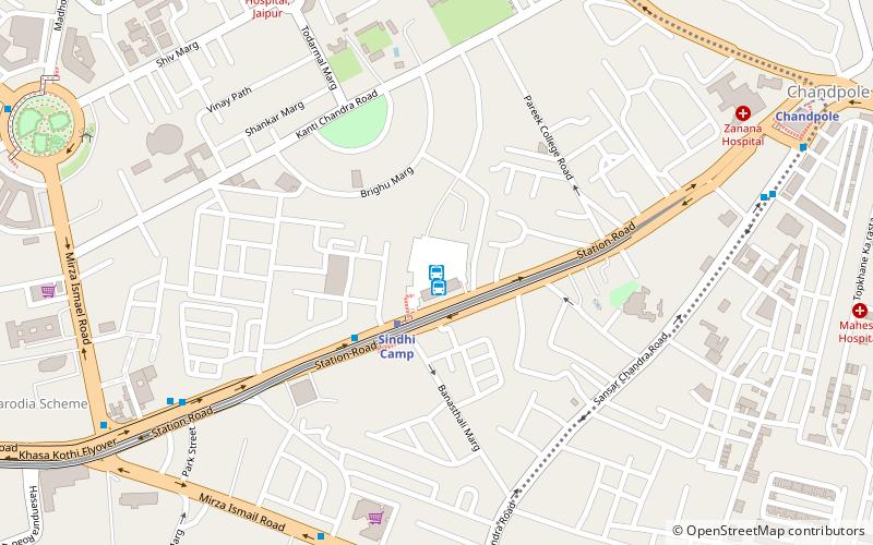
Sindhi Camp, Jaipur

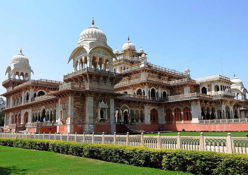
Gallery (1)
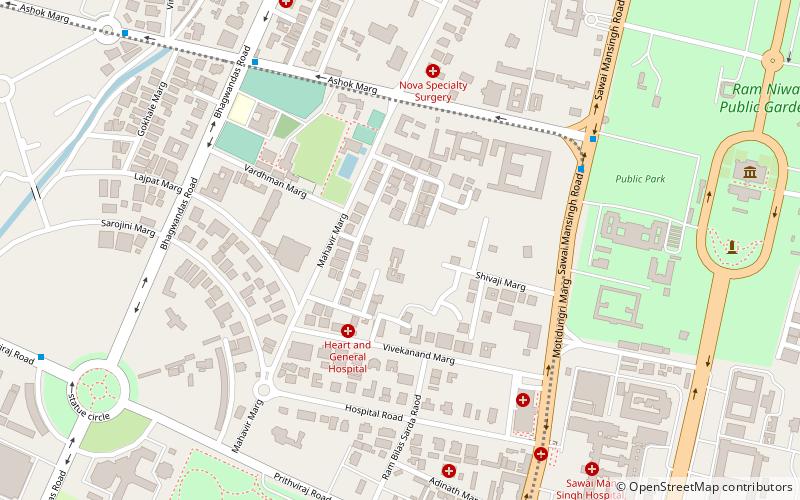
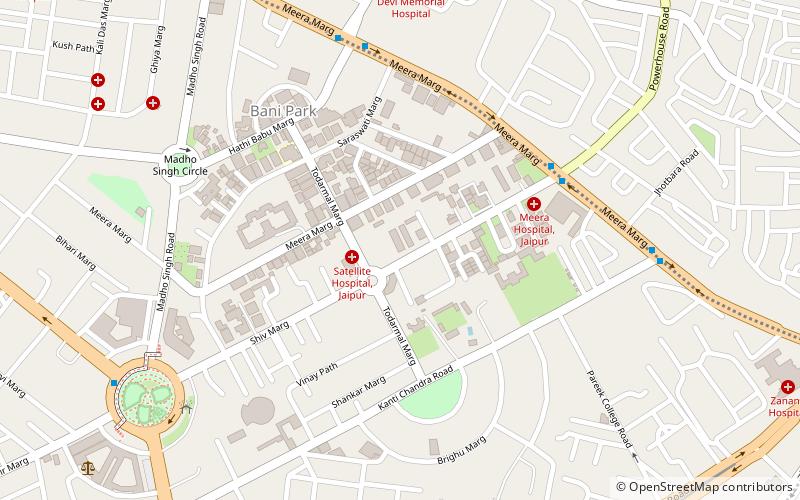
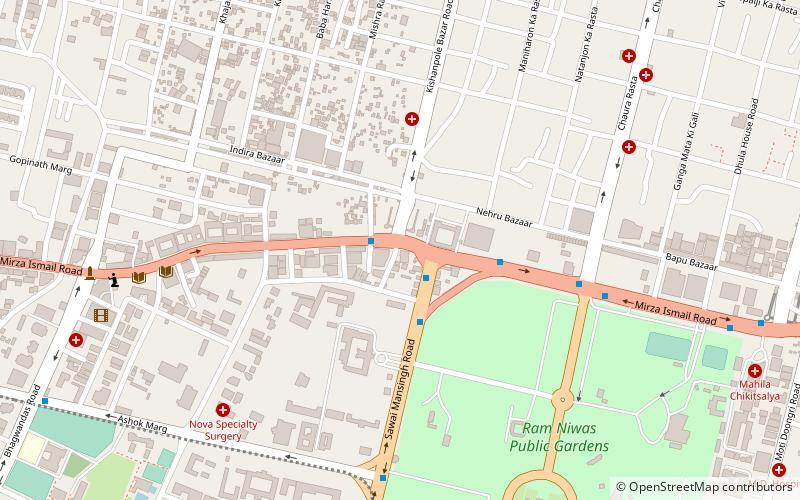
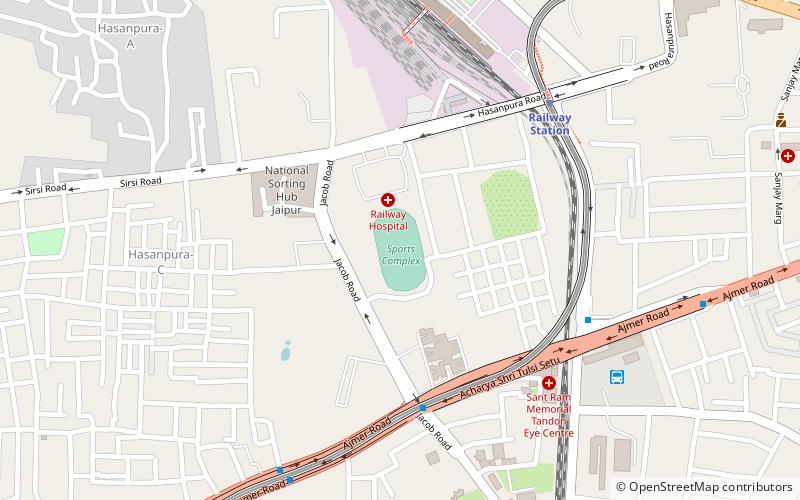
Map
Map
Facts and practical information
Sindhi Camp is the inter-state bus terminal of Jaipur city in India. It is located along Station Road in Jaipur. It is Central Bus stand for Rajasthan State Road Transport Corporation. Buses are available for Rajasthan, Delhi, Haryana, Uttar Pradesh, Uttarakhand, Gujarat and various other locations. ()
Coordinates: 26°55'25"N, 75°48'2"E
Address
Jaipur
ContactAdd
Social media
Add
Getting there by public transportation
Public transportation stops near this location
- Metro
- Bus
- Train
 Metro
Metro
- Calculate routeJaipur Main Bus station 1 min walk
- Calculate routeSindhi Camp Bus Stand 1 min walk
- Calculate routeGanpati plaza 9 min walk
- Calculate routeAmrapur Darbar 10 min walk
- Calculate routeSindhi Camp 3 min walk
- Calculate routeChandpole 13 min walk
- Calculate routeRailway Station 20 min walk
- Calculate routeChoti Chaupar 29 min walk
- Calculate routeJaipur Junction 23 min walk
Day trips


Frequently Asked Questions (FAQ)
Which popular attractions are close to Sindhi Camp?
Nearby attractions include Maharani College, Jaipur (11 min walk), St. Xavier's College, Jaipur (12 min walk).
How to get to Sindhi Camp by public transport?
The nearest stations to Sindhi Camp:
Bus
Metro
Train
Bus
- Jaipur Main Bus station • Lines: Jaipur To Bharatpur (1 min walk)
- Sindhi Camp Bus Stand (1 min walk)
Metro
- Sindhi Camp • Lines: Pink Line (3 min walk)
- Chandpole • Lines: Pink Line (13 min walk)
Train
- Jaipur Junction (23 min walk)