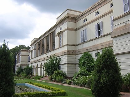
Ashram Chowk, Delhi
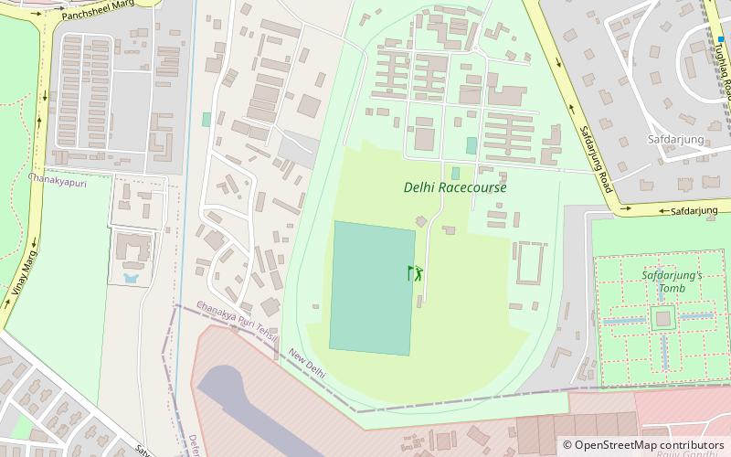
Map
Facts and practical information
Ashram Chowk is a crossways located on the southeastern corner of the Delhi Ring Road. It is at the intersection of the Ring Road and Mathura Road from the ITO crossing, the Supreme Court, Pragati Maidan, Purana Quila, Nizamuddin Dargah and the Haryana border at Faridabad. ()
Coordinates: 28°35'28"N, 77°12'13"E
Address
New Delhi (N.D. Charge 9)Delhi
ContactAdd
Social media
Add
Day trips
Ashram Chowk – popular in the area (distance from the attraction)
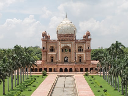
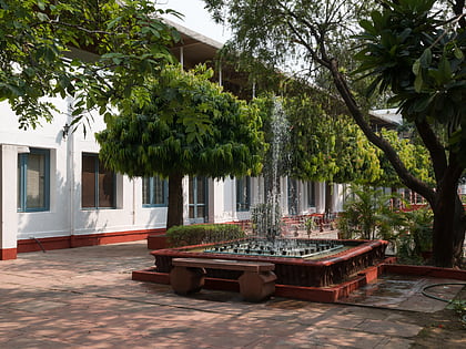
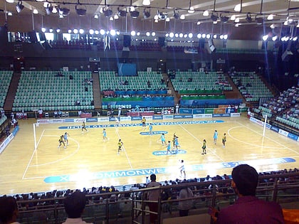
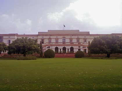
Nearby attractions include: Safdarjung's Tomb, Gandhi Smriti, Lodi Gardens, Thyagaraj Sports Complex.
Frequently Asked Questions (FAQ)
Which popular attractions are close to Ashram Chowk?
Nearby attractions include Safdarjung's Tomb, Delhi (12 min walk), Indira Gandhi Memorial, Delhi (16 min walk), Nehru Park, Delhi (17 min walk), Nehru Memorial Museum & Library, Delhi (22 min walk).
How to get to Ashram Chowk by public transport?
The nearest stations to Ashram Chowk:
Bus
Metro
Train
Bus
- Tughlak Crescent • Lines: 460, 540, 548 (15 min walk)
- Safdarjung Madrasa • Lines: 326 (1), 335 (1), 336, 336A, 344, 400, 433, 460, 502, 540, 548, 588, 624A, 794, 89 (15 min walk)
Metro
- Jor Bagh • Lines: Yellow Line (16 min walk)
- Lok Kalyan Marg • Lines: Yellow Line (16 min walk)
Train
- Sarojini Nagar (21 min walk)
- Lodhi Colony (29 min walk)
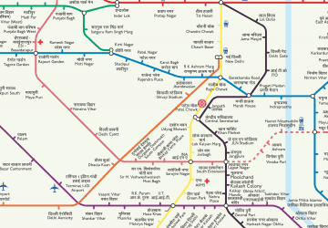 Metro
Metro