Nandi Bagan, Kolkata
Map
Facts and practical information
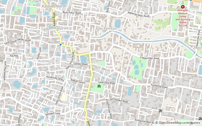
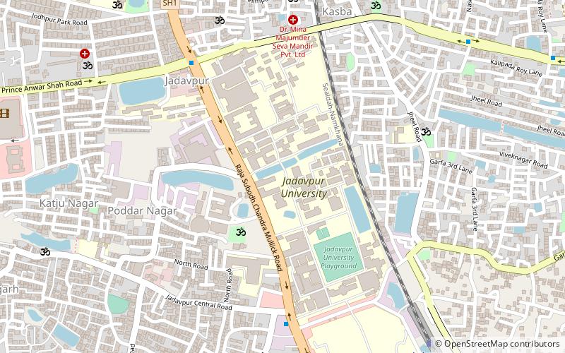
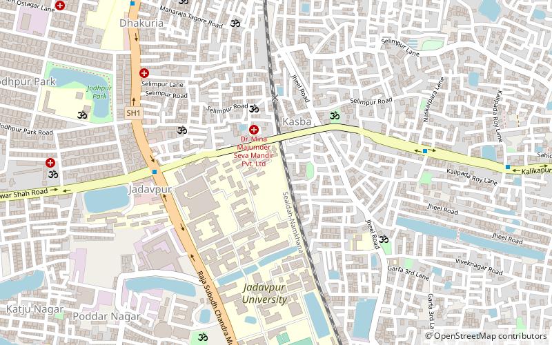
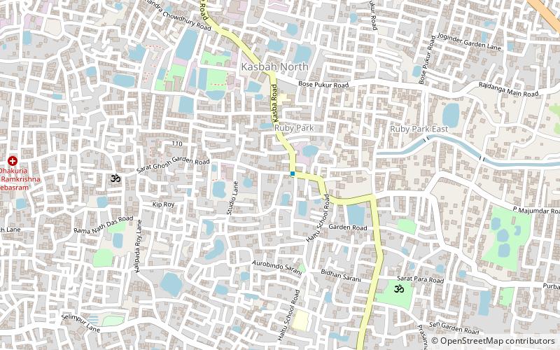
Nandy Bagan or Nandi Bagan is a neighbourhood of South Kolkata in the Indian city of Kolkata in West Bengal. It is a residential area surrounded with Kasba, Haltu, Garfa, Jadavpur, Babu Bagan, Dhakuria, Naskarpara, Shahid Nagar, Bosepukur and Selimpur. It is traditionally an upper middle class neighbourhood, situated around the Nandi Bagan community playground. However, with the newly constructed Prince Anwar Shah Road connector with the Eastern Metropolitan Bypass, property prices have increased in the area. The area is covered by the Garfa Police Station of the Kolkata Police Force. The Haltu Post Office serves the area. ()
Coordinates: 22°30'34"N, 88°23'7"E
Address
KasbaKolkata
ContactAdd
Social media
Add
Getting there by public transportation
Public transportation stops near this location
- Train
 Train
Train
- Calculate routeDhakuria 23 min walk
- Calculate routeBallygunge Junction 28 min walk
- Calculate routeBallygunge 29 min walk
- Calculate routeJadavpur 31 min walk
Day trips


Frequently Asked Questions (FAQ)
Which popular attractions are close to Nandi Bagan?
Nearby attractions include Kabardanga, Kolkata (7 min walk), Dhakuria, Kolkata (24 min walk).
How to get to Nandi Bagan by public transport?
The nearest stations to Nandi Bagan:
Train
Train
- Dhakuria (23 min walk)
- Ballygunge Junction (28 min walk)