Jalahalli, Bangalore
Map
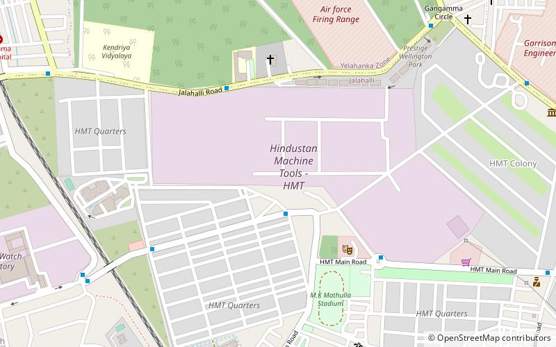
Map

Facts and practical information
Jalahalli is a suburb in northern part of Bengaluru is one of the greenest areas of Bengaluru. It is mainly divided into Jalahalli East and Jalahalli West. Gangamma Circle is the junction between the roads connecting Jalahalli East, Jalahalli West, Jalahalli Village, and Jalahalli Cross. The National Academy of Customs and Narcotics in Bengaluru is located here. ()
Coordinates: 13°3'7"N, 77°32'30"E
Address
HMTBangalore
ContactAdd
Social media
Add
Day trips
Jalahalli – popular in the area (distance from the attraction)
Nearby attractions include: Mantri Square, ISKCON Temple, GUHPS Hebbal, Hebbal Lake.
Frequently Asked Questions (FAQ)
How to get to Jalahalli by public transport?
The nearest stations to Jalahalli:
Bus
Metro
Bus
- Jalahalli Village (17 min walk)
- BEL Hospital • Lines: 401B, 401K, 401R (28 min walk)
Metro
- Peenya Industry • Lines: Green (39 min walk)


