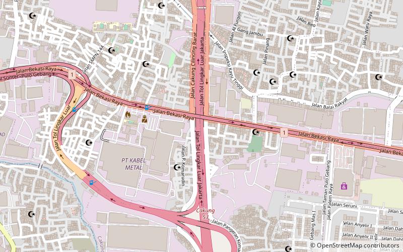
J-Sky
#527 among destinations in Indonesia
![J-Sky location map](https://tzmedia.b-cdn.net/media/images/static-maps/id/-6_14331_106_94727.jpg)
Facts and practical information
JakartaIndonesia
J-Sky – popular in the area (distance from the attraction)
Nearby attractions include: Mall of Indonesia, Mal Kelapa Gading, Mal Artha Gading, Tugu Church.
3.8 miWShopping, Shopping centreMall of Indonesia, Jakarta
98 min walk • The Mall of Indonesia is a vibrant epicenter of commerce and entertainment nestled in the bustling heart of Jakarta, Indonesia. As a premier shopping destination, this expansive center has become a hallmark for both locals and tourists seeking a comprehensive shopping...
2.9 miWShopping, Shopping centreMal Kelapa Gading, Jakarta
73 min walk • Mal Kelapa Gading, a thriving beacon of commerce and leisure in the heart of Jakarta, Indonesia, stands as a testament to the city's modern development and its appetite for retail therapy. This expansive shopping center, often simply referred to as MKG by locals, is a...
3.9 miWShopping, Shopping centreMal Artha Gading, Jakarta
99 min walk • Nestled in the bustling city of Jakarta, Indonesia, Mal Artha Gading stands as a modern shopping haven for both locals and tourists alike. This expansive shopping center, which is strategically located in the heart of Jakarta, presents a unique blend of retail therapy...
2.1 miNWChurchTugu Church, Jakarta
54 min walk • Tugu Church, is a Protestant church in Kampung Kurus, Semper Barat Administrative Village, Cilincing, Jakarta, Indonesia. The church was located in Kampung Tugu, a village of Mardijker people, a Creole Portuguese community.
5 miNWHarborPort of Tanjung Priok, Jakarta
128 min walk • Port of Tanjung Priok is the busiest and most advanced Indonesian seaport, handling more than 50% of Indonesia's trans-shipment cargo traffic. The port is located at Tanjung Priok, North Jakarta, which is operated by Indonesian state owned PT Pelindo II.
7 miSWTowerTrinity Tower, Jakarta
179 min walk • Trinity Tower is a skyscraper situated at the intersection of H.R. Rasuna Said Road and Jl. Prof. Dr. Satrio Road in Jakarta, Indonesia. The building was known as the Daswin building during its construction period.
3.2 miSWNeighbourhoodKelapa Gading, Jakarta
82 min walk • Kelapa Gading or also known as KG, Gading, is a district of North Jakarta, Jakarta, Indonesia. Kelapa Gading neighborhood is known to the local population as a city within a city, due to the integrated residential-commercial planning, and the supporting facilities.
6.2 miSWNeighbourhoodCempaka Putih, Jakarta
158 min walk • Cempaka Putih is a district of Central Jakarta, Indonesia. Cempaka Putih is roughly bounded by Jenderal Ahmad Yani bypass highway to the east, Pramuka boulevard to the south, Letjend Suprapto boulevard to the north, and a railway line to the west.
5.4 miSWNeighbourhoodPulo Gadung, Jakarta
137 min walk • Pulo Gadung is a district of East Jakarta, Indonesia.
2.9 miSNeighbourhoodCakung
74 min walk • Cakung is a district of East Jakarta, Indonesia. The district is roughly bounded by Bekasi Raya Road to the west, the Bekasi Raya Road - Petukangan canal to the north, a portion of Cakung river to the east, and the Jakarta-Bandung-Surabaya railway to the south.
6.8 miSWNeighbourhoodMatraman, Jakarta
175 min walk • Matraman is a district of East Jakarta, Indonesia. Matraman is the smallest district of East Jakarta. The boundaries of Matraman are: Bekasi Barat Raya Road to the south, Prof Wiyoto Witono MSc Highway to the east, Pramuka Road to the north, and Ciliwung River to the west.