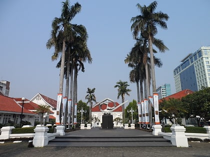
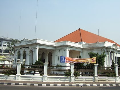
Citadel Prins Frederik, Jakarta
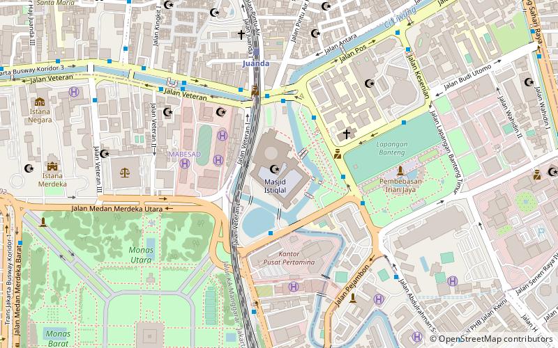
Map
Facts and practical information
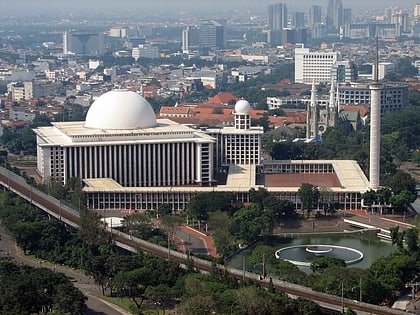
The Citadel Prins Frederik, also called Fort Prins Frederik, was a fortification built in 1837 by the Dutch in Batavia, in the Dutch East Indies. It was located at Wilhelmina Park, which demolished around 1961 and replaced by the Istiqlal Mosque. ()
Coordinates: 6°10'14"S, 106°49'52"E
Address
Jakarta Pusat (Sawah Besar)Jakarta
ContactAdd
Social media
Add
Day trips
Citadel Prins Frederik – popular in the area (distance from the attraction)
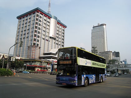
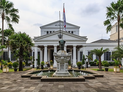
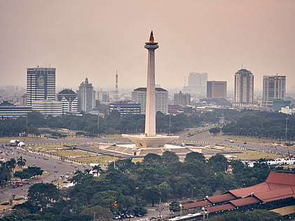
Nearby attractions include: Sarinah, National Museum, National Monument, Istiqlal Mosque.
Frequently Asked Questions (FAQ)
Which popular attractions are close to Citadel Prins Frederik?
Nearby attractions include Istiqlal Mosque, Jakarta (1 min walk), St. Peter's Cathedral, Jakarta (4 min walk), St. Mary of the Assumption Cathedral, Jakarta (4 min walk), West Irian Liberation Monument, Jakarta (7 min walk).
How to get to Citadel Prins Frederik by public transport?
The nearest stations to Citadel Prins Frederik:
Bus
Train
Bus
- Istiqlal • Lines: 2 (4 min walk)
- Juanda • Lines: 2, 3 (5 min walk)
Train
- Juanda (7 min walk)
- Gambir (12 min walk)
