Duren Sawit, Bekasi
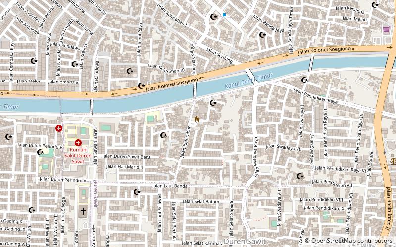
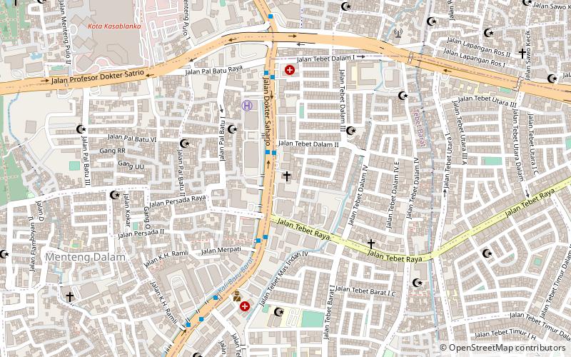
Map
Facts and practical information
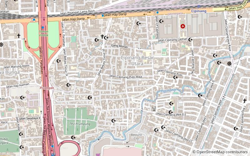
Duren Sawit is a village of Duren Sawit, East Jakarta, Indonesia. The village is also the seat of administration of the Duren Sawit district. It has a population of just under 70,000 in 2016, making it the fourth most populated village in the district. ()
Area: 1.76 mi²Coordinates: 6°13'51"S, 106°54'53"E
Address
Jakarta Timur (Duren Sawit)Bekasi
ContactAdd
Social media
Add
Day trips
Duren Sawit – popular in the area (distance from the attraction)
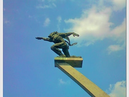
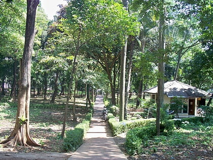
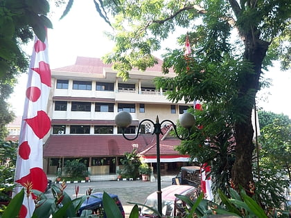
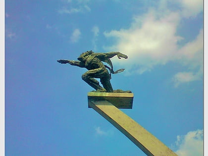
Nearby attractions include: Dirgantara Monument, Tebet Honda Park, The Church of Jesus Christ of Latter-day Saints in Indonesia, Tebet.
Frequently Asked Questions (FAQ)
How to get to Duren Sawit by public transport?
The nearest stations to Duren Sawit:
Train
Train
- Buaran (31 min walk)
