Maulin, Wicklow Mountains National Park

Gallery (1)
Map
Map
Facts and practical information
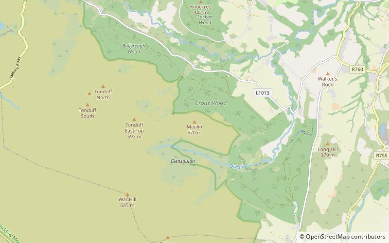
Maulin, at 570 metres, is the 272nd–highest peak in Ireland on the Arderin scale, however, being below 600 m it does not rank on the Vandeleur-Lynam or Hewitt scales. Maulin is in the far northeastern section of the Wicklow Mountains, at the mouth of Glensoulan Valley; Powerscourt Waterfall lies at its base. ()
Elevation: 1870 ftProminence: 230 ftCoordinates: 53°9'19"N, 6°13'49"W
Address
Wicklow Mountains National Park
ContactAdd
Social media
Add
Day trips


