Luggala
Map
Map

Facts and practical information
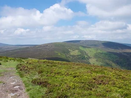
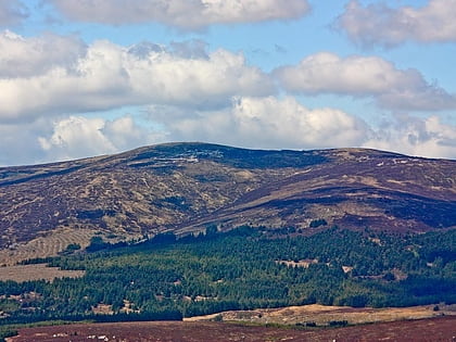
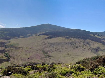
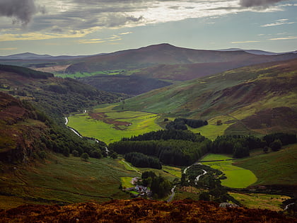
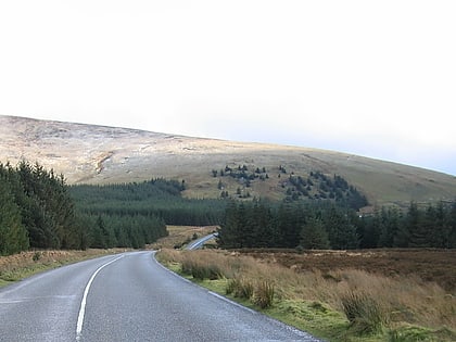
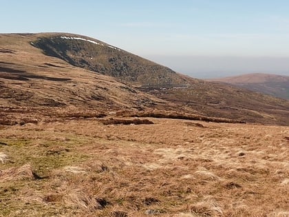
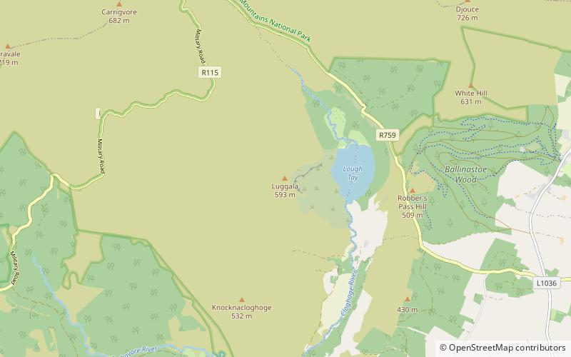
Luggala, also called Fancy Mountain at 595 metres, is the 230th-highest peak in Ireland on the Arderin scale. Being below 600 metres, it does not rank on the Vandeleur-Lynam or Hewitt scales. Luggala is in the northeastern section of the Wicklow Mountains in Ireland, and overlooks the Lough Tay, which lies at the base of the steep granite cliffs on Luggala's eastern face. As well as a noted scenic point in County Wicklow, Luggala's eastern cliffs have many graded rock-climbing routes. ()
Elevation: 1952 ftProminence: 361 ftCoordinates: 53°6'18"N, 6°17'0"W
Location
Wicklow
ContactAdd
Social media
Add
Day trips
Luggala – popular in the area (distance from the attraction)
Nearby attractions include: Glenmacnass Waterfall, Lough Dan, Tonduff, Carrigvore.


