Lough Tay
Map
Map

Facts and practical information
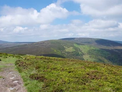
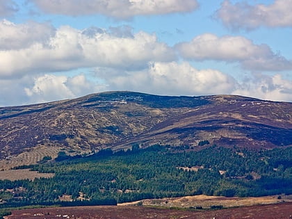
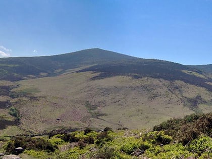
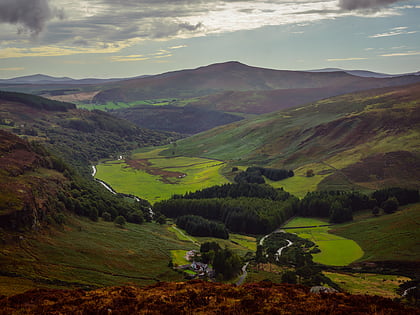
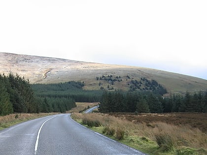
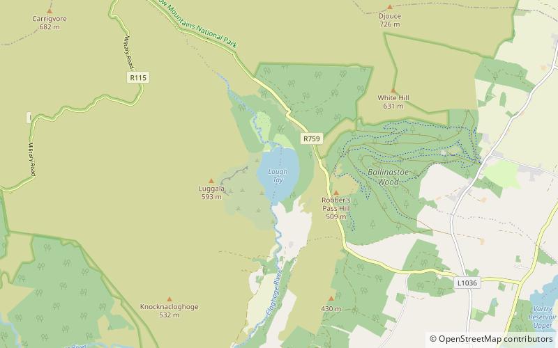
Lough Tay, is a small but scenic lake set on private property in the Wicklow Mountains in Ireland. The lake lies between the mountains of Djouce 725 metres, and Luggala 595 metres, and is dominated by Luggala's east-facing granite cliffs. The lough is fed by the Cloghoge River, which then drains into Lough Dan to the south. Lough Tay forms part of the Guinness Estate at Luggala, and has limited public access. ()
Location
Wicklow
ContactAdd
Social media
Add
Day trips
Lough Tay – popular in the area (distance from the attraction)
Nearby attractions include: Glenmacnass Waterfall, Great Sugar Loaf, Lough Dan, Tonduff.


