Carrigvore, Wicklow Mountains National Park

Gallery (2)
Map
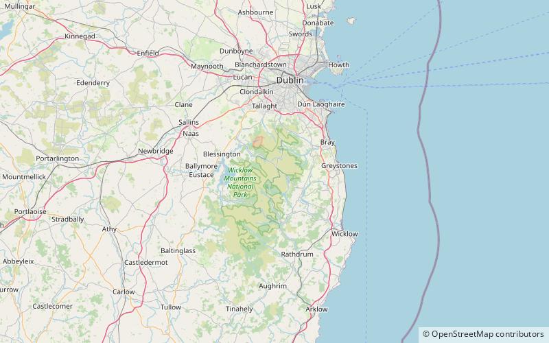
Map
Gallery
Facts and practical information
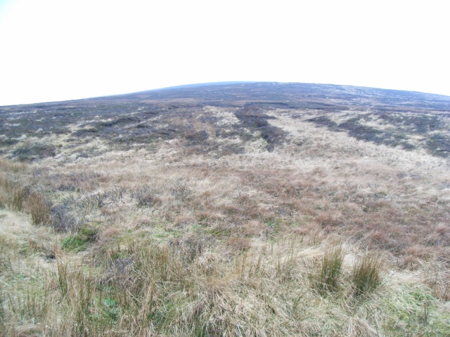
Carrigvore at 682 metres, is the 111th–highest peak in Ireland on the Arderin scale, and the 134th–highest peak on the Vandeleur-Lynam scale. Carrigvore is in the middle section of the Wicklow Mountains, in Ireland, and is part of a large north-east to south-west "boggy ridge" that runs from the Sally Gap to Carrigvore, and then on to Gravale 718 metres; after a col, the ridge continues south-westwards to meet Duff Hill 720 metres, which is part of the larger massif of Mullaghcleevaun 849 metres. ()
Coordinates: 53°7'49"N, 6°19'24"W
Address
Wicklow Mountains National Park
ContactAdd
Social media
Add
Day trips


