Clontarf, Dublin
Map

Map

Facts and practical information
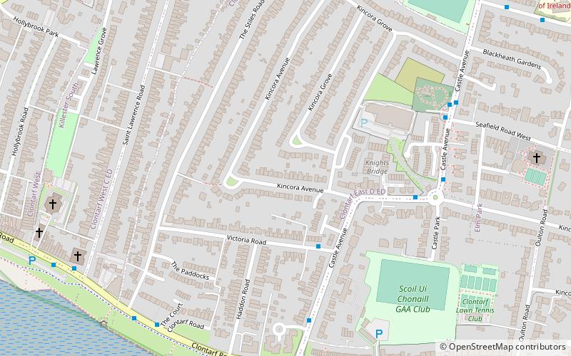
Clontarf is an affluent coastal suburb on the Northside of Dublin in the city's Dublin 3 postal district. Historically there were two centres of population, one on the coast towards the city, and the fishing village of Clontarf Sheds, further north on the coast at what is now Vernon Avenue. Clontarf has a range of commercial facilities in several locations, mainly centred on Vernon Avenue. It adjoins Fairview, Marino, Killester and Raheny. Clontarf is in the jurisdiction of Dublin City Council. ()
Address
Northside (Clontarf)Dublin
ContactAdd
Social media
Add
Day trips
Clontarf – popular in the area (distance from the attraction)
Nearby attractions include: 3Arena, Convention Centre Dublin, Marino Library, Fairview Park.
Frequently Asked Questions (FAQ)
Which popular attractions are close to Clontarf?
Nearby attractions include Clontarf parish, Dublin (8 min walk), Bull Island, Dublin (18 min walk), Marino Library, Dublin (23 min walk), Casino at Marino, Dublin (23 min walk).
How to get to Clontarf by public transport?
The nearest stations to Clontarf:
Bus
Train
Tram
Bus
- Castle Avenue, Clontarf Castle • Lines: 130 (5 min walk)
- Clontarf Road, The Court • Lines: 130 (7 min walk)
Train
- Killester (17 min walk)
- Clontarf Road (19 min walk)
Tram
- The Point • Lines: Luas Red Line (34 min walk)
- Spencer Dock • Lines: Luas Red Line (39 min walk)


