Balheary Open Golf Course, Swords

Gallery (1)
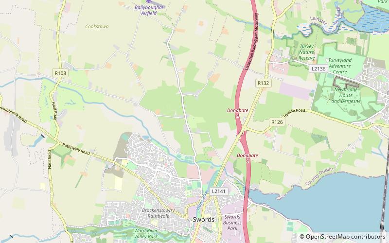
Map
Map
Facts and practical information
Balheary Open Golf Course (address: Balheary, Swords, Co. Dublin) is a place located in Swords (Dublin county) and belongs to the category of golf.
It is situated at an altitude of 39 feet, and its geographical coordinates are 53°28'49"N latitude and 6°13'18"W longitude.
Among other places and attractions worth visiting in the area are: Applewood (neighbourhood, 20 min walk), Rathbeale (neighbourhood, 34 min walk), Swords Castle (ruins, 37 min walk).
Coordinates: 53°28'49"N, 6°13'18"W
Day trips