Victor's Way, Roundwood
#1 among attractions in Roundwood

Facts and practical information
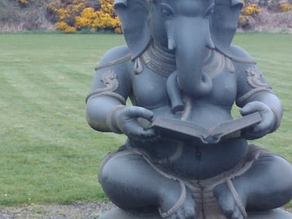
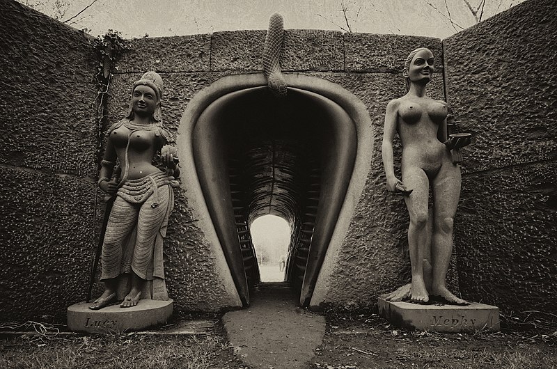
Victor's Way, located near Roundwood, County Wicklow, Ireland, is a privately owned meditation garden notable for its black granite sculptures. The 9-hectare property includes a number of small lakes and forested areas. ()
Victor's Way – popular in the area (distance from the attraction)
Nearby attractions include: Glenmacnass Waterfall, Great Sugar Loaf, Lough Dan, Tonduff.
 Natural attraction, Park, Waterfall
Glenmacnass Waterfall, Laragh
131 min walk • Glenmacnass Waterfall is an 80-metre high waterfall situated at the head of the Glenmacnass Valley in the Wicklow Mountains in Ireland. The Glenmacnass Waterfall is a popular tourist destination and scenic viewpoint area in the Wicklow Mountains. The Waterfall is bounded to the west by Tonelagee, and to the east by Scarr mountain.
 Nature, Natural attraction, Mountain
Great Sugar Loaf
141 min walk • The Great Sugar Loaf Mountain is an iconic landmark in County Wicklow, Ireland, known for its distinctive conical shape that resembles a classic sugarloaf. Rising 501 meters above sea level, this mountain is not only a scenic spectacle but also a popular destination...
 Nature, Natural attraction, Lake
Lough Dan
72 min walk • Nestled in the heart of the Wicklow Mountains in Ireland, Lough Dan beckons nature lovers with its serene beauty and tranquil waters. This idyllic lake, bordered by lush greenery and rolling hills, offers a peaceful escape from the hustle and bustle of modern life.
 Mountain
Tonduff, Wicklow Mountains National Park
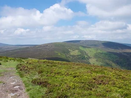
144 min walk • Tonduff at 642 metres, is the 169th–highest peak in Ireland on the Arderin scale, and the 202nd–highest peak on the Vandeleur-Lynam scale. Tonduff is in the far northeastern section of the Wicklow Mountains, in Wicklow, Ireland.
 Mountain
Carrigvore, Wicklow Mountains National Park
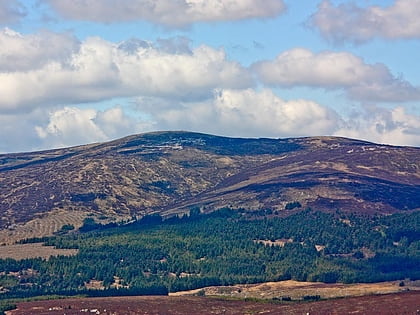
137 min walk • Carrigvore at 682 metres, is the 111th–highest peak in Ireland on the Arderin scale, and the 134th–highest peak on the Vandeleur-Lynam scale.
 Privately owned lake amid mountains
Lough Tay
64 min walk • Lough Tay, is a small but scenic lake set on private property in the Wicklow Mountains in Ireland. The lake lies between the mountains of Djouce 725 metres, and Luggala 595 metres, and is dominated by Luggala's east-facing granite cliffs.
 Nature, Natural attraction, Mountain
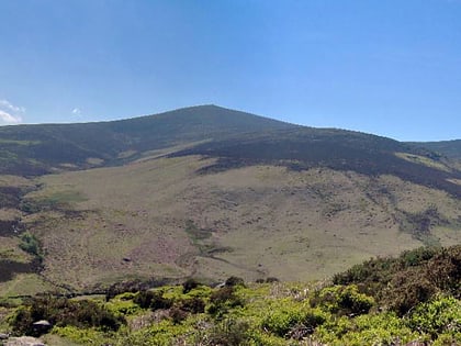
Djouce, Wicklow Mountains National Park
84 min walk • Djouce at 725 metres, is the 74th–highest peak in Ireland on the Arderin scale, and the 91st–highest peak on the Vandeleur-Lynam scale.
 Mountain
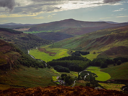
Scarr, Laragh
112 min walk • Scarr at 641 metres, is the 174th–highest peak in Ireland on the Arderin scale, and the 207th–highest peak on the Vandeleur-Lynam scale. Scarr is situated in the central sector of the Wicklow Mountains range, but off main "central spine" of the range that runs from Kippure in the north, to Lugnaquillia in the south.
 Garden, Park
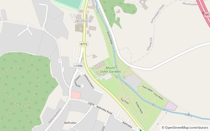
Mount Usher Gardens, Glendalough
179 min walk • Mount Usher Gardens located at Ashford, County Wicklow, Ireland, was laid out in 1868. It is spread on twenty acres of land along River Vartry, having more than 5000 plant species.
 Nature, Natural attraction, Mountain
Maulin, Wicklow Mountains National Park
125 min walk • Maulin, at 570 metres, is the 272nd–highest peak in Ireland on the Arderin scale, however, being below 600 m it does not rank on the Vandeleur-Lynam or Hewitt scales.
 Nature, Natural attraction, Mountain
Luggala
78 min walk • Luggala, also called Fancy Mountain at 595 metres, is the 230th-highest peak in Ireland on the Arderin scale. Being below 600 metres, it does not rank on the Vandeleur-Lynam or Hewitt scales.
