Anglesea Road, Dublin
Map

Gallery

Facts and practical information
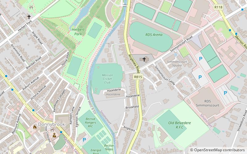
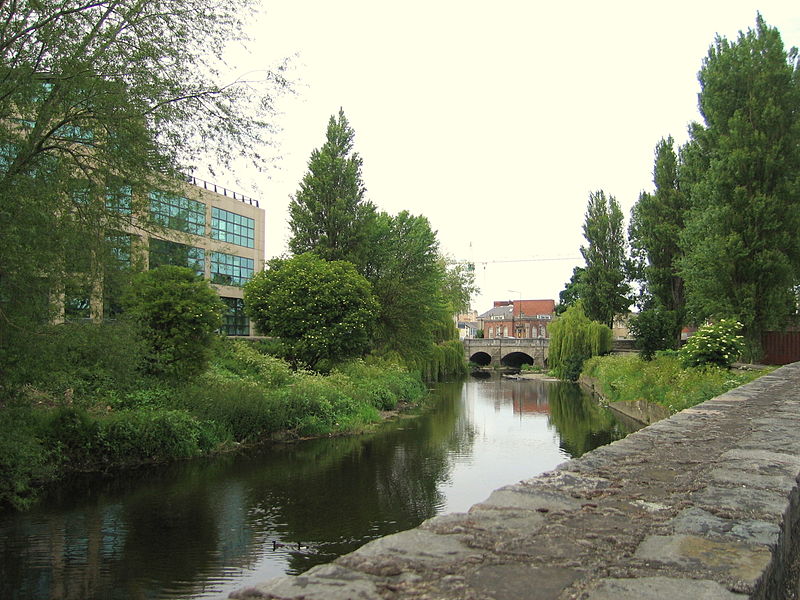
Anglesea Road is a road joining Donnybrook with Ballsbridge, in Dublin, Ireland. It forms part of the R108 regional route in Southeast Dublin. The River Dodder flows nearby Anglesea Road. A number of sports clubs and sports venues are located in and around the Anglesea Road area. These include Old Belvedere R.F.C. Merrion Cricket Club, Anglesea Road Cricket Ground and the RDS Arena. ()
Length: 3609 ftCoordinates: 53°19'26"N, 6°13'53"W
Address
Anglesea RoadSouthside (Pembroke)Dublin
ContactAdd
Social media
Add
Day trips
Anglesea Road – popular in the area (distance from the attraction)
Nearby attractions include: Aviva Stadium, RDS Arena, Donnybrook Stadium, Merrion Centre.
Frequently Asked Questions (FAQ)
Which popular attractions are close to Anglesea Road?
Nearby attractions include Herbert Park, Dublin (8 min walk), Ballsbridge, Dublin (9 min walk), Donnybrook Cemetery, Dublin (10 min walk), Clyde Road, Dublin (12 min walk).
How to get to Anglesea Road by public transport?
The nearest stations to Anglesea Road:
Bus
Train
Tram
Bus
- #774 Donnybrook, Garda Station • Lines: 145, 39A, 46A (7 min walk)
- #759 Donnybrook, Rugby Ground • Lines: 145, 46A (7 min walk)
Train
- Sandymount (13 min walk)
- Lansdowne Road (18 min walk)
Tram
- Beechwood • Lines: Luas Green Line (26 min walk)
- Ranelagh • Lines: Luas Green Line (27 min walk)


