Ailesbury Road, Dublin
Map

Map

Facts and practical information
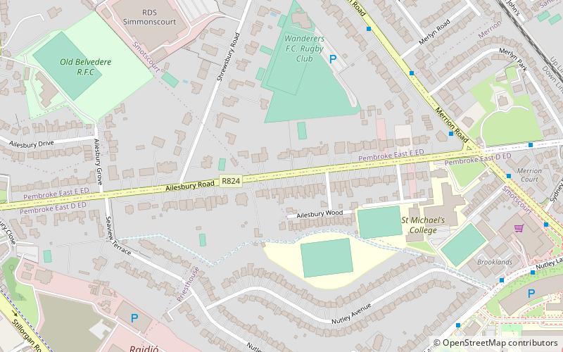
Ailesbury Road, Dublin 4, Ireland, is an affluent tree-lined avenue linking Sydney Parade Station on Sydney Parade Avenue and the Church of the Sacred Heart, Donnybrook. Many embassies and diplomatic residences have historically been located on the road, including the striking residence of the French Ambassador, the embassy of the People's Republic of China, and the Japanese embassy ()
Coordinates: 53°19'12"N, 6°13'17"W
Address
Southside (Pembroke)Dublin
ContactAdd
Social media
Add
Day trips
Ailesbury Road – popular in the area (distance from the attraction)
Nearby attractions include: Elm Park Golf Club, RDS Arena, Donnybrook Stadium, Merrion Centre.
Frequently Asked Questions (FAQ)
Which popular attractions are close to Ailesbury Road?
Nearby attractions include Merrion Road, Dublin (6 min walk), Sydney Parade Avenue, Dublin (14 min walk), Sandymount Avenue, Dublin (15 min walk), Donnybrook Cemetery, Dublin (16 min walk).
How to get to Ailesbury Road by public transport?
The nearest stations to Ailesbury Road:
Bus
Train
Bus
- #420 Merrion Road, Merlyn Road • Lines: 4, 7 (6 min walk)
- #481 Merrion Road, Merlyn Road • Lines: 4 (6 min walk)
Train
- Sydney Parade (11 min walk)
- Sandymount (14 min walk)


