Templeogue, Dublin
Map
Facts and practical information
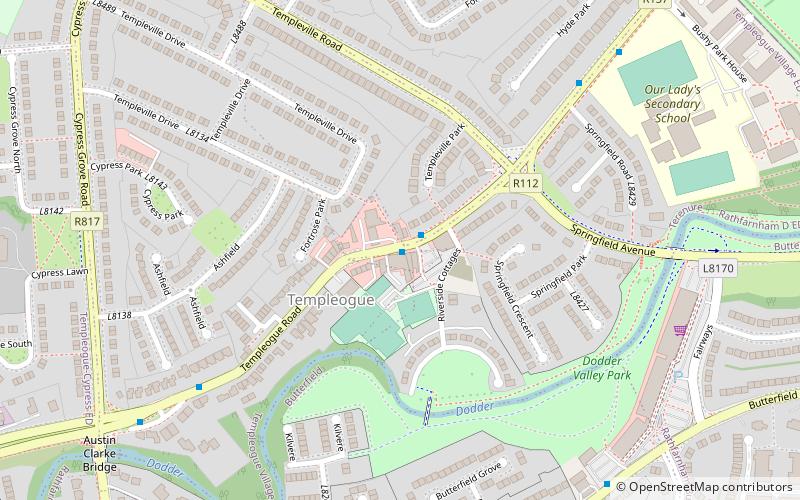
Templeogue is a southwestern suburb of Dublin in Ireland. It lies between the River Poddle and River Dodder, and is about halfway from Dublin's centre to the mountains to the south. ()
Address
Dublin
ContactAdd
Social media
Add
Getting there by public transportation
Public transportation stops near this location
- Bus
 Bus
Bus
- Calculate routeTempleogue Road 7 min walk
Day trips


Frequently Asked Questions (FAQ)
Which popular attractions are close to Templeogue?
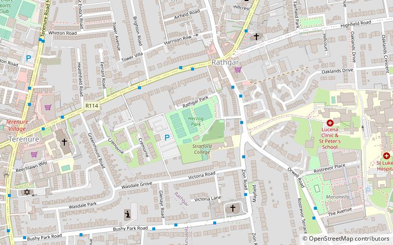
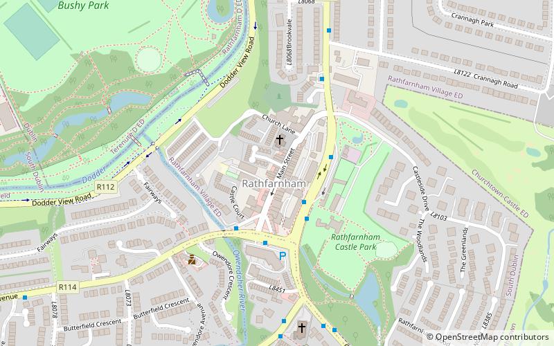
Nearby attractions include Bushy Park, Dublin (14 min walk), Rathfarnham, Dublin (19 min walk), Rathfarnham Castle, Dublin (21 min walk).
How to get to Templeogue by public transport?
The nearest stations to Templeogue:
Bus
Bus
- Templeogue Road • Lines: 49 (7 min walk)