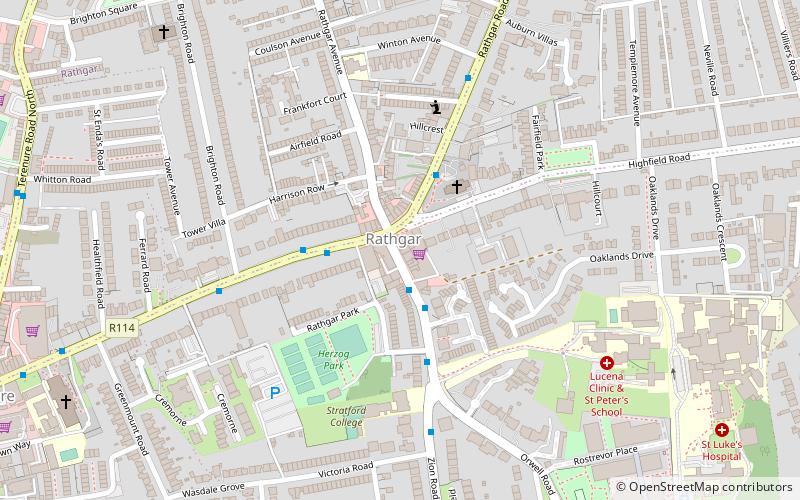
Rathgar, Dublin

Gallery (1)
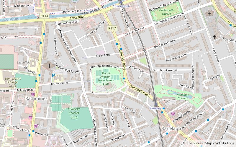
Map
Map
Facts and practical information
Rathgar, is a suburb of Dublin in Ireland. It was originally a village which from 1862 was part of the township of Rathmines and Rathgar; it was absorbed by the growing city and became a suburb in 1930. It lies about three kilometres south of the city centre. ()
Address
Southside (Rathmines)Dublin
ContactAdd
Social media
Add
Getting there by public transportation
Public transportation stops near this location
- Bus
- Tram
 Bus
Bus
- Calculate routeTerenure Road North 9 min walk
- Calculate routeHarold's Cross Road 11 min walk
- Calculate routeTerenure Road, Fergus Rd 12 min walk
- Calculate routeCowper 24 min walk
- Calculate routeMilltown 24 min walk
- Calculate routeBeechwood 27 min walk
- Calculate routeWindy Arbour 31 min walk
Day trips


Frequently Asked Questions (FAQ)
Which popular attractions are close to Rathgar?
Nearby attractions include Herzog Park, Dublin (3 min walk), Kenilworth Square, Dublin (12 min walk), Orwell Healthcare, Dublin (15 min walk), Trinity Hall, Dublin (16 min walk).
How to get to Rathgar by public transport?
The nearest stations to Rathgar:
Bus
Tram
Bus
- Terenure Road North • Lines: 49 (9 min walk)
- Harold's Cross Road • Lines: 49 (11 min walk)
Tram
- Cowper • Lines: Luas Green Line (24 min walk)
- Milltown • Lines: Luas Green Line (24 min walk)