Rathfarnham, Dublin

Map
Facts and practical information
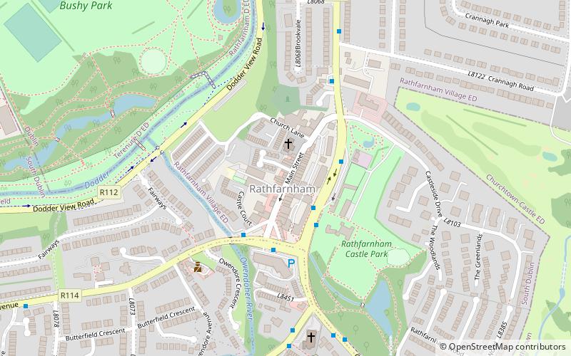
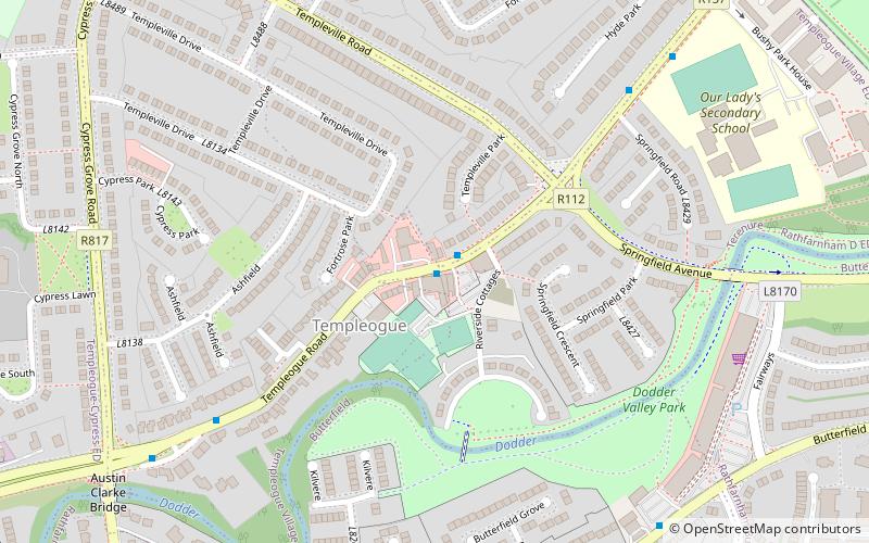
Rathfarnham is a Southside suburb of Dublin, Ireland. It is south of Terenure, east of Templeogue, and is in the postal districts of Dublin 14 and 16. It is within the administrative areas of both Dún Laoghaire–Rathdown County Council and South Dublin County Council. ()
Day trips
Rathfarnham – popular in the area (distance from the attraction)
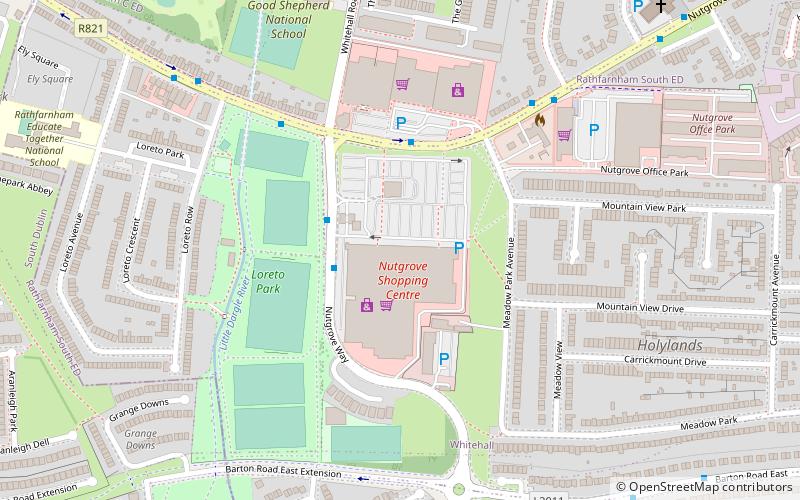
Nearby attractions include: Nutgrove Shopping Centre, Rathfarnham Castle, Pearse Museum, Bushy Park.
Frequently Asked Questions (FAQ)
Which popular attractions are close to Rathfarnham?
Nearby attractions include Rathfarnham Castle, Dublin (3 min walk), Bushy Park, Dublin (8 min walk), Templeogue, Dublin (19 min walk), Orwell Healthcare, Dublin (20 min walk).
How to get to Rathfarnham by public transport?
The nearest stations to Rathfarnham:
Bus
Bus
- Rathfarnham Road, Butterfield Avenue • Lines: 16, 17, 17D (2 min walk)
- Butterfield Avenue, Grange Road • Lines: 75 (3 min walk)


