Jerusalem: Neighbourhood
Places and attractions in the Neighbourhood category
Categories
- Church
- Museum
- Archaeological site
- Sacred and religious sites
- Historical place
- Synagogue
- Neighbourhood
- Park
- History museum
- Temple
- Cemetery
- Shopping
- Specialty museum
- Natural attraction
- Monastery
- Mosque
- Street
- Tomb
- Memorial
- Square
- Nature
- Area
- Archaeological museum
- Art museum
- Concerts and shows
- Theater
- Architecture
- Arch
- Shopping centre
- Forts and castles
- View point
- Garden
- Valley
- Library
- Mountain
- Sport
- Sport venue
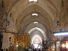
Muslim Quarter
The Muslim Quarter is one of the four quarters of the ancient, walled Old City of Jerusalem. It covers 31 hectares of the northeastern sector of the Old City.
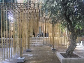
Bezalel
In Exodus 31:1-6 and chapters 36 to 39, Bezalel, Bezaleel, or Betzalel, was the chief artisan of the Tabernacle and was in charge of building the Ark of the Covenant, assisted by Aholiab.
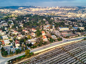
Ramat Rachel
Ramat Rachel is a kibbutz located in central Israel. An enclave within Jerusalem's municipal boundaries and overlooking Bethlehem and Rachel's Tomb, it falls under the jurisdiction of Mateh Yehuda Regional Council. In 2019, it had a population of 545.
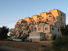
Ramot Polin
Ramot Polin is part of the larger neighborhood of Ramot, an Israeli settlement in northwest East Jerusalem. It was constructed by the Kollel Polen in stages beginning in 1972, under the auspices of the Office for Building and Habitation, and is populated, as intended, mostly by Haredi Jewish families, including Breslov.
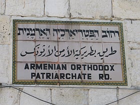
Armenian Patriarchate of Jerusalem
The Armenian Patriarchate of Jerusalem also known as the Armenian Patriarchate of Saint James is located in the Armenian Quarter of Jerusalem.
Old City
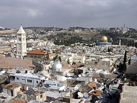
Western Wall and eclectic food stalls The Old City is a 0.9-square-kilometre walled area within the modern city of Jerusalem. The history of the Old City has been documented in significant detail, notably in old maps of Jerusalem over the last 1,500 years.
West Jerusalem
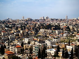
West Jerusalem or Western Jerusalem refers to the sectors of Jerusalem that remained under Israeli control after the 1948 Arab–Israeli War, whose ceasefire lines delimited the boundary with the rest of the city, which was then under Jordanian control.
Christian Quarter
The Christian Quarter is one of the four quarters of the walled Old City of Jerusalem, the other three being the Jewish Quarter, the Muslim Quarter and the Armenian Quarter.
Armenian Quarter
The Armenian Quarter is one of the four quarters of the walled Old City of Jerusalem. Located in the southwestern corner of the Old City, it can be accessed through the Zion Gate and Jaffa Gate.
Shimon HaTzadik
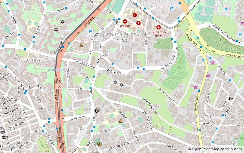
Shimon HaTzadik is a neighborhood in Jerusalem, established around the Tomb of Simeon the Just, after whom it was named. The neighborhood was established in 1890 and abandoned during the Independence war.
Gibeah
Gibeah is the name of three places mentioned in the Hebrew Bible, in the tribes of Benjamin, Judah, and Ephraim respectively. Gibeah of Benjamin is the most commonly mentioned of the places. In the Book of Judges, it is the main setting to the story of the Benjaminite War.
Sheikh Jarrah
Sheikh Jarrah is a predominantly Palestinian neighborhood in East Jerusalem, two kilometres north of the Old City, on the road to Mount Scopus. It received its name from the 13th-century tomb of Sheikh Jarrah, a physician of Saladin, located within its vicinity.
Yemin Moshe
Yemin Moshe is a historic neighborhood in Jerusalem, Israel overlooking the Old City.
Mea Shearim
Mea Shearim is one of the oldest Jewish neighborhoods in Jerusalem. It is populated by Haredi Jews, and was built by members of the Old Yishuv. The oldest Sephardic Haredi dynasty, Levi Kahana of Spain, has a religious cultural center in the neighborhood.
Nachlaot
Nachlaot is a cluster of 23 courtyard neighborhoods in central Jerusalem known for its narrow, winding lanes, old-style housing, hidden courtyards and many small synagogues.
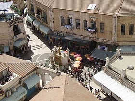
Muristan
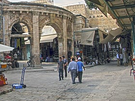
The Muristan is a complex of streets and shops in the Christian Quarter of the Old City of Jerusalem. The site was the location of the first Bimaristan of the Knights Hospitaller.
German Colony
The German Colony is a neighborhood in Jerusalem, established in the second half of the 19th century as a German Templer Colony in Palestine.
Moroccan Quarter
The Mughrabi Quarter, also referred to as Moroccan Quarter was a neighbourhood in the southeast corner of the Old City of Jerusalem, established in the late 12th century. It bordered the western wall of the Temple Mount on the east, the Old City walls on the south and the Jewish Quarter to the west.
Baka
Baka is a neighborhood in southern Jerusalem. The official name is Geulim, which is mainly used on road signs.
Lifta
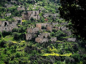
Lifta was a Palestinian Arab village on the outskirts of Jerusalem. The village was depopulated during the early part of the 1947–1948 civil war in Mandatory Palestine. In July 2017 Israel declared Lifta as a national nature reserve. It has been referred to as the "Palestinian Pompeii".
Bab a-Zahara
Bab a-Zahara Arabic: باب الساهرة is an Arab neighborhood in East Jerusalem, north of the Old City. It is bordered by the American Colony to the north, Wadi al-Joz to the east, Herod's Gate and Damascus Gate on its south, and Mas'udiyyah and Mea Shearim to the west.
Mount Zion
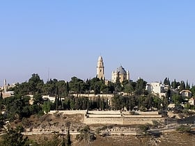
Mount Zion is a hill in Jerusalem, located just outside the walls of the Old City. The term Mount Zion has been used in the Hebrew Bible first for the City of David and later for the Temple Mount, but its meaning has shifted and it is now used as the name of ancient Jerusalem's Western Hill.
Talpiot
Talpiot is an Israeli neighborhood in southeastern Jerusalem, established in 1922 by Zionist pioneers. It was built as a garden suburb on land purchased by the Tel Aviv-based Palestine Land Development Company and other Jewish building societies.
Beit Hanina
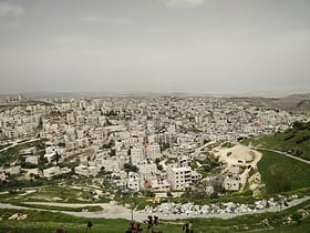
Beit Hanina is an Arab Palestinian neighborhood in East Jerusalem. It is on the road to Ramallah, eight kilometers north of central Jerusalem, at an elevation of 780 meters above sea level.
Givat Ram
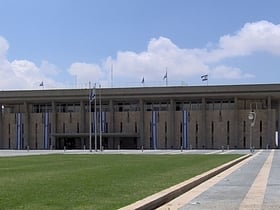
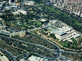
Givat Ram is a neighborhood in central Jerusalem. It is the site of Kiryat HaMemshala, which includes many of Israel's most important national institutions, among them the Knesset, the Israel Museum, the Supreme Court, Bank of Israel, Academy of the Hebrew Language, National...
Gilo
Gilo is an Israeli settlement in south-western East Jerusalem, with a population of 30,000, mostly Jewish inhabitants.
Beit Safafa
Beit Safafa is a Palestinian town along the Green Line, with the vast majority of its territory in East Jerusalem and some northern parts in West Jerusalem. Since the 1949 agreements, the neighborhood had been divided by the Green Line.
Rehavia
Rehavia or Rechavia is an upscale Jerusalem neighborhood located between the city center and Talbiya. Since its establishment in the 1920s, the area has always been associated with German-Jewish culture and tradition.
Isawiya
Al-Issawiya Arabic: العيساوية, is a Palestinian neighborhood in East Jerusalem. It is located on the eastern slopes of the Mount Scopus ridge.
Har Hotzvim
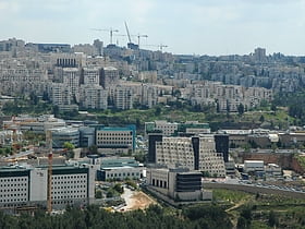
Har Hotzvim, also Campus of Science-Rich Industries is a high-tech industrial park located in northwest Jerusalem. It is the city's main zone for science-based and technology companies, among them Intel, Teva, NDS, RAD Data, Mobileye, Ophir Optronics, Sandvine, Radware, IDT Global Israel, Medtronic, SATEC, Johnson and Johnson and more.
Neve Yaakov
Neve Yaakov also Neve Ya'aqov, is an Israeli settlement and neighborhood located in East Jerusalem, north of Pisgat Ze'ev and south of al-Ram.
Givat Shaul
Givat Shaul is a neighborhood in West Jerusalem. The neighborhood is located at the western entrance to the city, east of the neighborhood of Har Nof and north of Kiryat Moshe. Givat Shaul stands 820 meters above sea level.
Har Homa
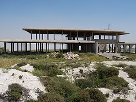
Har Homa, officially Homat Shmuel, is an Israeli settlement in southern East Jerusalem, near Beit Sahour. The settlement is also referred to as "Jabal Abu Ghneim" which is the Arabic name of the hill.
Malha
Malha is a neighborhood in southwest Jerusalem, between Pat, Ramat Denya and Kiryat Hayovel in the Valley of Rephaim. Before 1948, Malha was a Palestinian Arab village known as al-Maliha.
Sur Baher
Sur Baher, also Tsur Baher, is a Palestinian neighborhood on the southeastern outskirts of East Jerusalem. It is located east of Ramat Rachel and northeast of Har Homa. In 2006, Sur Baher had a population of 15,000.
Musrara
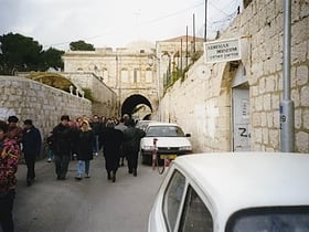
Musrara is a neighborhood in Jerusalem. It is bordered by Meah Shearim and Beit Yisrael on the north, the Old City on the south, Bab a-Zahara to the east, and the Russian Compound and Kikar Safra to the west.
Har Nof
Har Nof is a neighborhood on a hillside on the western boundary of Jerusalem with a population of 20,000 residents, primarily Orthodox Jews.
Ramat Eshkol
Ramat Eshkol is an Israeli settlement and neighborhood in East Jerusalem. It was built on land captured from Jordan in the Six-Day War and was the first neighborhood built in East Jerusalem after the Six-Day War in 1967.
Ramat Shlomo
Ramat Shlomo is a large Jewish housing development in northern East Jerusalem. The population, mostly ultra-Orthodox, is 20,000. Ramat Shlomo was built on land occupied by Israel since its capture from Jordan in the 1967 Six-Day War and is considered by the international community to be an Israeli settlement.
Mekor Baruch
Mekor Baruch also spelled Makor Baruch, is a neighborhood in Jerusalem. The neighborhood is bordered by Malkhei Yisrael Street to the north, Sarei Yisrael Street to the west, Jaffa Road to the south, and the Zikhron Moshe neighborhood to the east.
Beit HaKerem
Beit HaKerem is a largely secular upscale neighborhood in southwest Jerusalem. It is located between Kiryat Moshe to the northwest and Bayit VeGan to the south. Beit HaKerem has a population of 15,000.
French Hill
French Hill, also Giv'at Shapira is a neighborhood and Israeli settlement in northern East Jerusalem. It is located on territory that has been occupied since the Six-Day War in 1967 and later unilaterally annexed by Israel under the Jerusalem Law, in a move internationally condemned as illegal under international law, in 1980.
Abu Tor
Abu Tor, also Abu Thor or ath-Thori, is a mixed Jewish and Arab neighborhood in Jerusalem, built on an eminence south of the Old City.
Wadi al-Joz
Wadi al-Joz, also Wadi Joz, an abbreviation of "Valley of Josaphat" or Valley of the Walnuts, is a Palestinian neighborhood in East Jerusalem, located at the head of the Kidron Valley, north of the Old City. The population of Wadi Joz is 13,000.
East Talpiot
East Talpiot or Armon HaNetziv is a Jewish neighborhood in southern East Jerusalem, established by Israel in 1973 on land captured in the Six-Day War and occupied since. The international community considers East Talpiot to be an Israeli settlement that is illegal under international law.
Map

