Trek Zone

Brenner Regional Council, Rehovot

#6 among attractions in Rehovot

Sightseeing
Brenner Regional Council

Facts and practical information
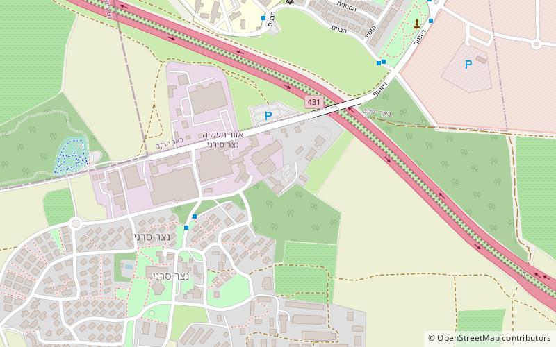
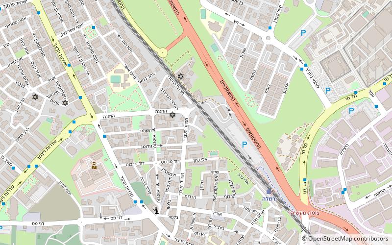
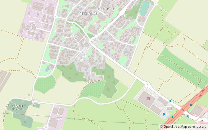
Local name: מועצה אזורית ברנר Area: 13.9 mi²Coordinates: 31°51'50"N, 34°48'6"E
Address

Rehovot Israel

Contact
Social media
Add

Rehovot plan & book

Unleash the traveler in you — discover the cheapest flight deals, find the perfect hotel or hostel nearby, and search for the best car rental prices. Travel at your own pace to discover new places and enjoy your journey.

Day trips

Brenner Regional Council – popular in the area (distance from the attraction)

Nearby attractions include: British military cemetery, Mausoleum of Abu Huraira, St. Nicodemus and St. Joseph of Arimathea Church, White Mosque.

  • british military cemetery ramla6.7 miNE
  • mausoleum of abu huraira yavne3.4 miW
  • st nicodemus and st joseph of arimathea church ramla6 miNE
  • white mosque ramla5.8 miNE
  • ness ziona rishon letzion4.6 miN
  • kiryat ekron rehovot1.2 miE
  • weizmann institute of science rehovot3.1 miN
  • yibna bridge yavne3.3 miW
  • gedera3.7 miSW
  • havat allenby rehovot location map
    4.5 miN
  • ramla subdistrict location map
    6.3 miNE

Where to next? Visit hamerkaz HaMerkaz region page or discover the top tourist attractions in Israel.